

Niederjoch–Hochjoch

Description
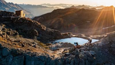
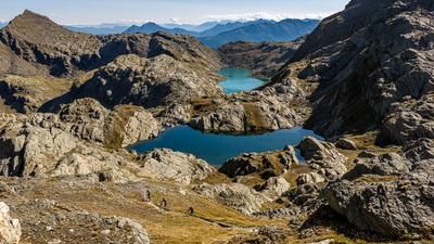
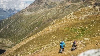
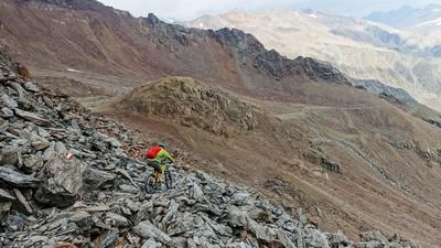
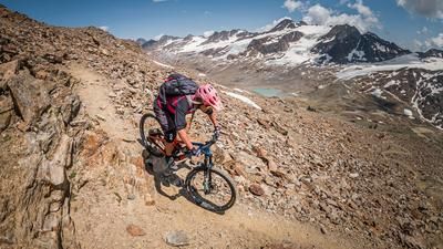
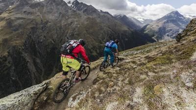
The adventure begins in Vent at the very top of the Ötztal. The village is the starting point for the ascent through the Niedertal valley up to the Similaun hut. The 600 meters of altitude difference to the Martin-Busch-Hütte are relatively easy to conquer, riding along a well-maintained gravel road. Then the going gets tough, with the remaining 500 meters in altitude requiring pushing and, at times, carrying. Unlike in the past, however, there are no more glacier passages. On the Niederjoch (3017 meters above sea level) we take a long break before descending into the Schnalstal valley on the Italian side. The first few meters are rough and unrideable. After a section of rock, however, this changes and the trail leads through the high alpine terrain, bumpy but manageable. As the distance increases, the area becomes greener and the path smoother, and eventually you reach the village of Vernagt on the banks of the reservoir of the same name. You now roll up the valley on the main road to Kurzras, where the second feat of strength begins.
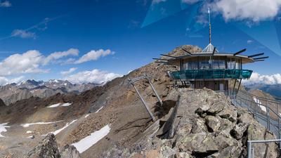
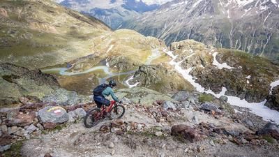
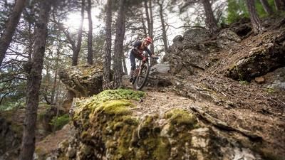
If you're lucky, you can avoid the ascent to the Teufelsegghütte hut with the chairlift, otherwise you're in for a tough ascent on steep gravel tracks. In this way, a little over 800 meters in altitude are gained up to the Hochjoch, from where the descent back to the Ötztal begins. The same characteristics apply here as for the trail down from the Similaun hut: technical, exposed, alpine, but for good riders it can be ridden almost all the way. This trail through the long Rofental valley takes you back to Vent.
Tip: ride the tour in two days and spend the night at the Similaun hut, for example
Note: The route is located on Austrian territory and leads over routes that are not approved for mountain bikers. Riding this route on a mountain bike is the responsibility of each individual, in full awareness of the legal situation.
Map & GPX-Track
The map is only available to Ride subscribers.
The Ride-Subscription is available at ride-mtb.com/abo
.
Details of the tour
46 km
2455 m
2455 m
1689 above sea level
3017 above sea level
1 day
Vent
Vent
1757
not suitable
More information
More tours nearby















User comments (0)

About the author: Thomas Giger
Note: This content has been automatically translated from German. Please report any incorrect translations.