

Monte Sabotino
Description
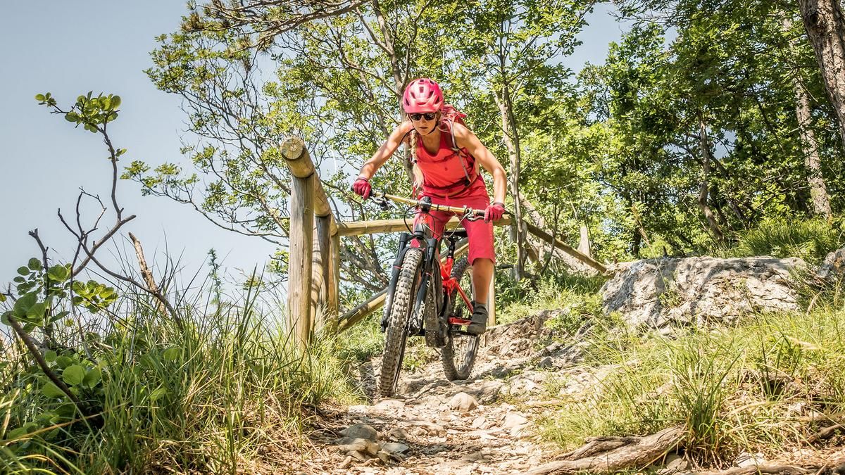
The starting point is the northern part of Nova Gorica. From here, the route takes you across the Isonzo and the Soča river, crossing a cycle bridge and then following a two-lane cycle path steadily uphill. Passing the cemetery, you pedal parallel to the Strada di Osimo and then the Strada militare Monte Sabotino uphill on asphalt. The climb is relatively easy up to the military building. After that, you have to push your bike up to the summit at 609 meters above sea level. In return, the views are magnificent, especially in the season with little vegetation (spring and fall), and there are countless lost places that remind us of the history of this mountain. Several military conflicts have taken place here in recent centuries, turning the area itself into a true infrastructure paradise, which in this case also offers a fabulous trail descent.
At the summit, along the Italian-Slovenian border, a Crete trail leads to Sveti Valentin. There are countless remains here that mark the way further on. The summit crossing itself can be classified as S2. The route continues downwards on S2 to S3. However, the choice of tires plays a significant role here, as the area is particularly karstic and stony. The tour should also not be ridden in heavy rain or wet periods of vegetation, as the combination of stones and soil does not make the paths any easier. The route descends steadily in this manner up to around 350 meters above sea level. Then you use a Strada Bianca as a transfer, again the Strada militare Monte Sabotino upwards and then the crossing towards Planinska koča Sabotin. Here again there is a lost place from the First World War, but it is well developed and serves as a kind of open-air museum.
After this, the route takes you back to Monte Sabotino by pushing and then down a singletrail of class S2 to S3 to Sabotinska cesta. Take care here as you enter the asphalt road, which is located at the end of the trail. The route then continues relaxed on the main road and side road parallel to the mountain before the last trail section, which is very bike park-like with a few jumps and berms, is waiting to be tackled. This joins the cycle path again and takes you back to the starting point.
As the tour is located in the foothills of the Alps, spring, winter and fall are the most advisable times. The orientation of the mountain also makes it rather difficult to complete in the summer months. Extreme temperatures and heavy vegetation then make the descent more difficult. However, spring and late fall are the perfect time for trail addicts.
Map & GPX-Track
The map is only available to Ride subscribers.
The Ride-Subscription is available at ride-mtb.com/abo
.
Details of the tour
14 km
735 m
735 m
64 above sea level
566 above sea level
1 day
Nova Gorica
Nova Gorica
2913
well suited
More information
More tours nearby
User comments (0)

About the author: Martin Depauli
Note: This content has been automatically translated from German. Please report any incorrect translations.