

Piz Chavalatsch - Müstair
Description
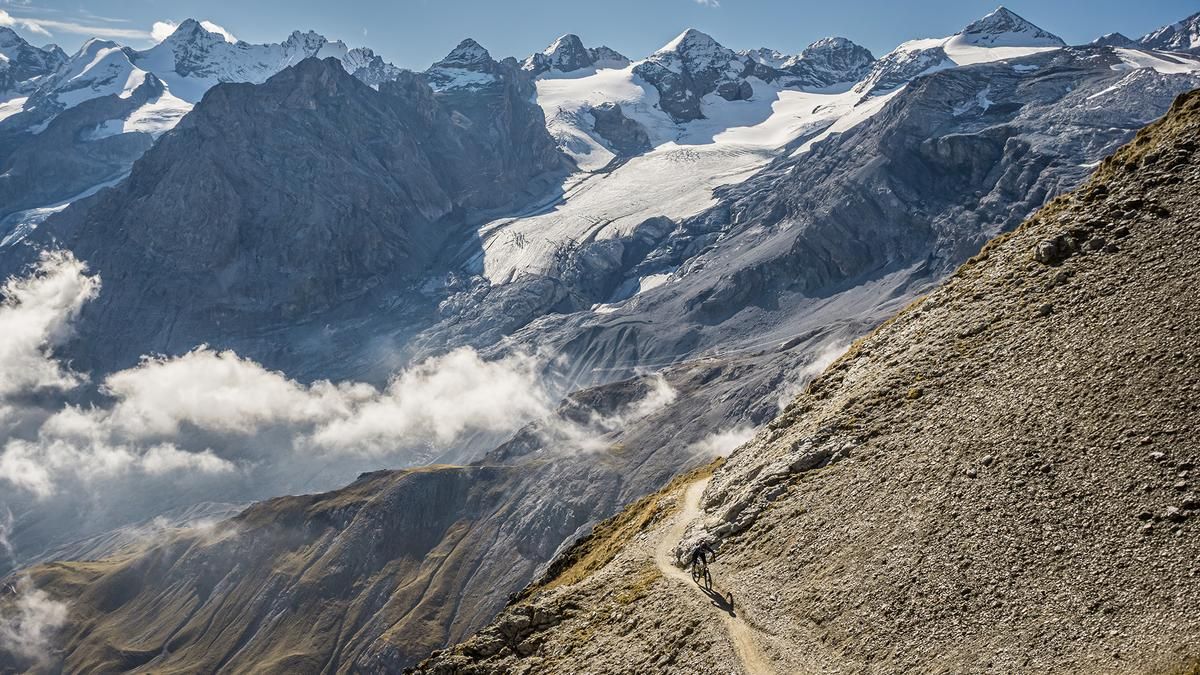
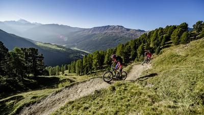
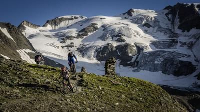
This fairly long and grueling tour begins in the Vinschgau Valley, near the small town of Prad am Stilfser Joch. From here, the route initially follows the paved pass road steadily uphill toward the Stilfser Joch, before winding its way up meter by meter—first on pavement and later on gravel—through Stilfs. Alternatively, you can bypass this section by taking a shuttle to Trafoi and using the chairlift there. Next comes the traverse trail, known as the Almweg, heading toward the Stilfser Alm. At the Stilfser Alm, the route follows a cart track for a few more meters before gradually transitioning into a singletrack, which continues in this manner all the way to the summit. This route is also easily manageable on an e-mountain bike. At 2,763 meters above sea level, you reach the highest point of the tour, Piz Chavalatsch. The view of the Vinschgau Valley, the Stelvio National Park, the Ötztal Alps, and toward Lake Reschen is very impressive on a clear day.
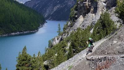
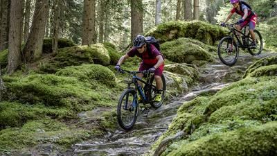
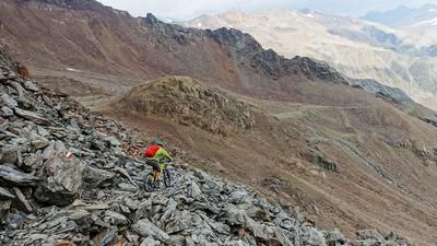
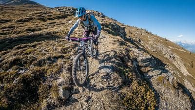
The descent then begins with an opening section featuring S3 and, in places, S4 sections along the ridge, leading along the Italian-Swiss border. At La Scharta, at 2,593 meters above sea level, take the trail toward Switzerland and follow this section—which features S2 sections with occasional S3 sections—steadily downhill. In the upper section, the trail is partially overgrown and somewhat difficult to make out, but it then becomes better defined again and subsequently leads through spruce and larch forests on classic forest terrain—with a few key sections—into Val Müstair. Afterward, take the bike path back to South Tyrol and return to the starting point via Glurns.
Map & GPX-Track
The map is only available to Ride subscribers.
The Ride-Subscription is available at ride-mtb.com/abo
.
Details of the tour
45 km
1890 m
1890 m
885 above sea level
2717 above sea level
1 day
Prad am Stilfserjoch
Prad am Stilfserjoch
3812
limited
More information
More tours nearby











User comments (1)

About the author: Martin Depauli
Note: This content has been automatically translated from German. Please report any incorrect translations.
The descent isn't worth the long climb. You have to do this hike when the weather is nice and you're in good company, because it's not exactly a fun trail ride. We're relatively experienced riders, but we still had to dismount a few times. The trail only became fun once we were down in the woods. The view from Piz Clavadatsch, however, is outstanding.