

Monte Seguret
Description
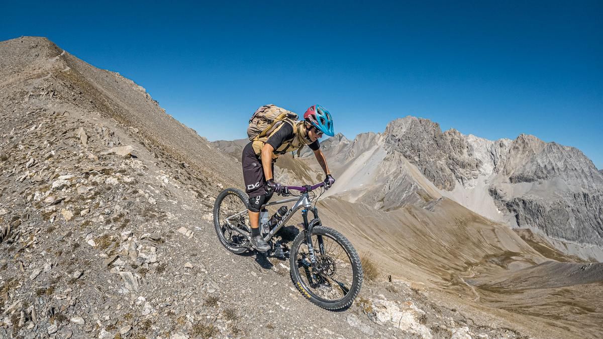
The route begins in the Susa Valley in the small town of Salbertrand. From here, it follows the main road at first, then takes the military ramp past Fort Fenil, climbing steadily uphill on gravel to Forte Pramand. Past Forte Pramand, you’ll pass through the legendary Galleria del Seguret Tunnel and emerge back into daylight at Caserma Grotte del Seguret. Lighting is required here, as the tunnel is long and unlit. After that, the route continues uphill on Sentiero 717. You’ll need to push your bike here, though some sections are relatively rideable with a lightweight e-mountain bike. The view from the Ricovero Vin Vert is already spectacular, but it becomes even more impressive further up. Trails 719 and 719a lead up to Monte Seguret, the highest point of the tour. The upper section is somewhat exposed, but the panoramic views are unique and almost otherworldly.
The descent there ranges from difficulty S2 to S3, mainly due to the exposure. The route continues toward Colle dell’Argentera and from there, on a former military ramp, flows smoothly past the ruins to the barracks. The road then heads toward Jafferau up to the ridge, followed by a varied trail rated between S1 and S2+, marked with numbers 735 and 742, which feels like it takes forever to descend into the Susa Valley toward Lago di Orfú. The return trip to the starting point is then along the main road.
Map & GPX-Track
The map is only available to Ride subscribers.
The Ride-Subscription is available at ride-mtb.com/abo
.
Details of the tour
36 km
1890 m
1890 m
1011 above sea level
2855 above sea level
1 day
Salbertrand
Salbertrand
3807
limited
More information
More tours nearby






User comments (0)

About the author: Martin Depauli
Note: This content has been automatically translated from German. Please report any incorrect translations.