

Monte Morefreddo
Description
The tour starts in Pattemouche. From here, the route follows a gravel path along the western side of Monte Morefreddo, climbing steadily uphill. Especially in the upper section, the route offers charming scenery and beautiful views. Overall, the climb remains steady and varied, even though it is steep and challenging in some sections. In the upper section, the trail increasingly becomes a singletrack, so you’ll need to push your bike at times before reaching Monte Morefreddo at 2,770 meters above sea level, in the heart of the Cottian Alps. There, military structures from the late 19th century and various sections of the Vallo Alpino characterize the summit area. The terrain there is mostly gentle but offers good views, especially toward the south toward the mountain range.
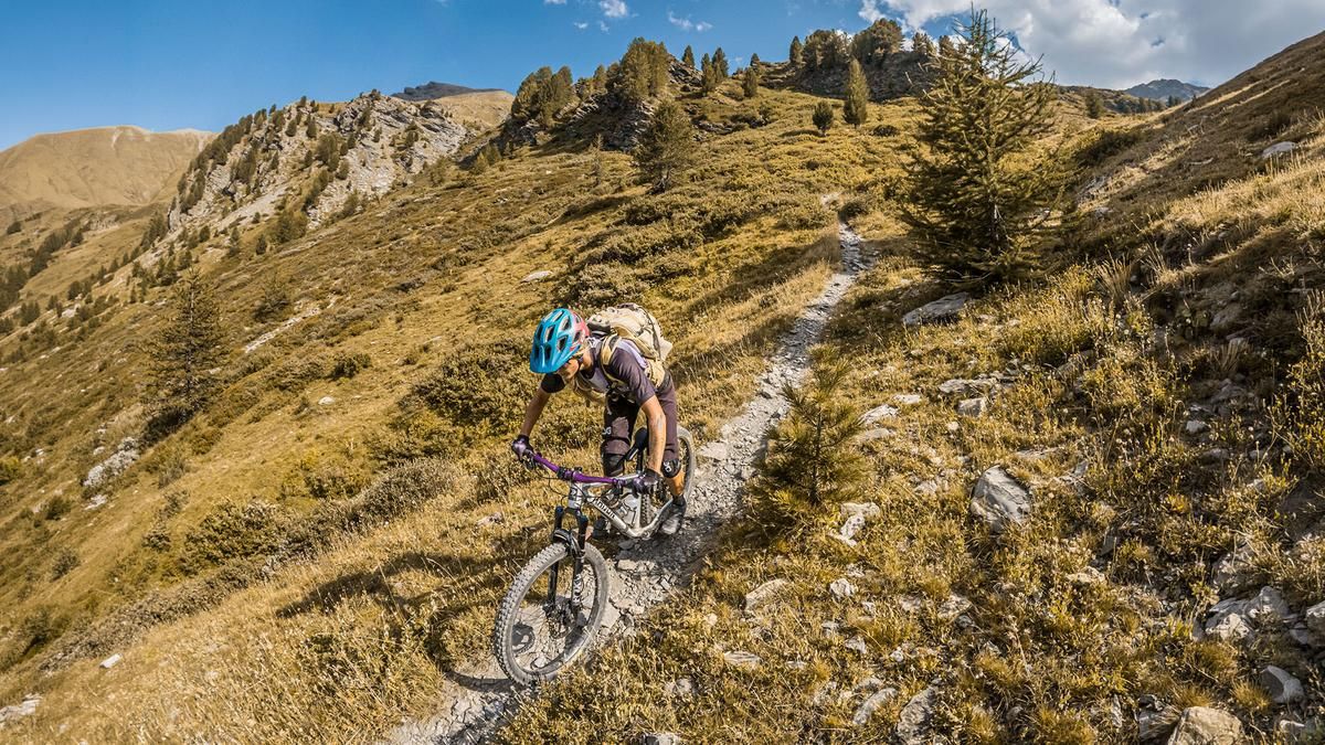
Then the descent begins. Above the tree line, the trail is inviting and smooth to ride, ranging between S1 and S2 and remaining within this difficulty range. Passing a few ruins in the middle section—dating back to agricultural eras—the route heads back into Val Troncea and then coasts down to the starting point.
Map & GPX-Track
The map is only available to Ride subscribers.
The Ride-Subscription is available at ride-mtb.com/abo
.
Details of the tour
19 km
1150 m
1150 m
1588 above sea level
2728 above sea level
1 day
Pattemouche
Pattemouche
3804
limited
More information
More tours nearby


User comments (0)

About the author: Martin Depauli
Note: This content has been automatically translated from German. Please report any incorrect translations.