

Col de Marinet
Description
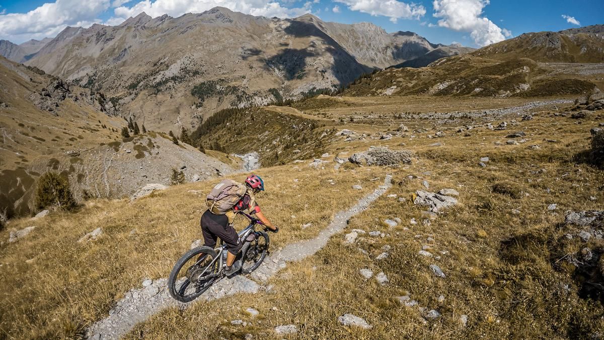
The tour begins in the Ubaye Valley, in the heart of the Queyras region. From here, the route leads slightly above Maljasset along a few meters of gravel road up to the farm buildings; afterward, you’ll push your mountain bike in some sections and ride again in others, with a steady climb all the way to the Grand lac du Marinet. The climb is manageable even on a lightweight e-mountain bike, as the rideable sections are quite enjoyable. However, you should also expect sections where you’ll need to push your bike in the area around the lakes. Amid bizarre landscapes, gravel, and rocky outcrops, the route continues upward to the Col de Marinet, right on the border between France and Italy. At 2,787 meters above sea level, the highest point of the tour is reached, and the kilometers in your legs are slowly starting to take their toll. The view into the Valle Maira is impressive, especially toward Monte Freide and Monte Albrage.
Then the descent begins. In some sections, the ride is very smooth, with a difficulty rating of S1, while in others it is somewhat more challenging, rated S2; the route continues over sand and loose gravel to the Colle del Maurin, the next alpine mountain pass. From there, the north-facing descent leads back into the Ubaye Valley, with a difficulty rating of S2 to S3, though the lower section corresponds to the ascent route. The tour finally loops back to Maljasset at the starting point.
Map & GPX-Track
The map is only available to Ride subscribers.
The Ride-Subscription is available at ride-mtb.com/abo
.
Details of the tour
15 km
870 m
860 m
1909 above sea level
2765 above sea level
1 day
Maljasset
Maljasset
3801
limited
More information
More tours nearby


User comments (0)

About the author: Martin Depauli
Note: This content has been automatically translated from German. Please report any incorrect translations.