

Tête de Girardin Giro
Description
The tour begins in the Ubaye Valley at the famous Pont-du-Châtelet bridge. From there, the route heads north on asphalt at a relatively leisurely pace to warm up, before you push or carry your mountain bike to the left after the small hamlet of Maljasset and gain elevation along the southern slopes between 1,950 and 2,650 meters above sea level. The Col Tronchet marks the pass here, spectacularly nestled in the landscape.
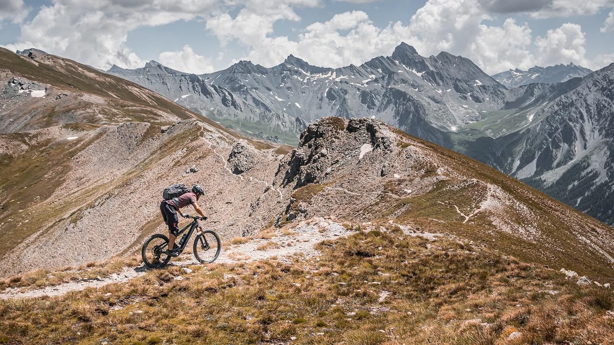
Then the descent begins toward the north. Though a bit bumpy at first, with a difficulty rating of S2+, the ride becomes increasingly smooth, and you’ll glide down the grassy slopes toward Ceillac. At around 2,150 meters above sea level, you’ll traverse toward Lac Sainte Anne, the breathtaking mountain lake. Its color seems almost unreal at times, and it’s particularly impressive in the fall against the backdrop of the colorful landscape. From there, you’ll push your bike—and in some sections, even pedal—up toward the saddle and on to the highest point of the tour, the Tête de Girardin at 2,876 meters above sea level. The views are spectacular—here you get the pure essence of the Western Alps.
The descent is also an absolute delight. You’ll ride along the ridges to the Col Girardin and take the south-facing slope there—with switchbacks on sand and gravel above the tree line—on the final stretch of trail before returning to the Ubaye Valley and wrapping up the tour with a few trail shortcuts. The loop can also be significantly shortened by taking only the southern ramp to Col Girardin, then adding the summit and skipping the full loop.
Map & GPX-Track
The map is only available to Ride subscribers.
The Ride-Subscription is available at ride-mtb.com/abo
.
Details of the tour
34 km
1680 m
1680 m
1608 above sea level
2826 above sea level
1 day
Saint-Paul-sur-Ubaye
Saint-Paul-sur-Ubaye
3778
not suitable
More information
There are no places to stop for refreshments along the route
More tours nearby


User comments (0)

About the author: Martin Depauli
Note: This content has been automatically translated from German. Please report any incorrect translations.