

Monte Losetta
Description
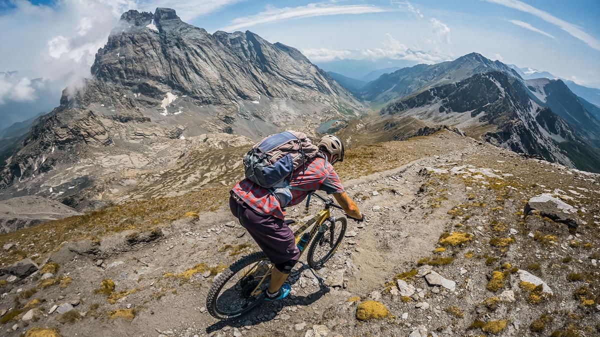
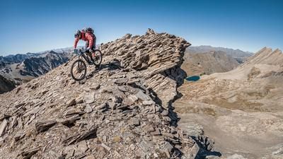
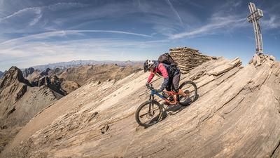
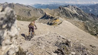
The tour begins at the base of the mountain pass road leading to Colle dell’Agnello. From here, you’ll ride steadily uphill on asphalt toward Grange del Rio to warm up. The route then switches to a mule trail, where you can still gain elevation by pedaling or pushing your bike in some sections. The gradient varies, with the sections where you can ride or push becoming increasingly rare, until eventually you have to carry your mountain bike on your back to an elevation of just under 2,600 meters above sea level and carry it in this manner over the Losetta Pass to the summit. The summit itself drops extremely steeply to the north and offers sweeping views of the Queyras region, the Vallo Po, and the Vallanta Pass. Particularly impressive is Monviso, at 3,841 meters above sea level, which remains visible throughout the descent.
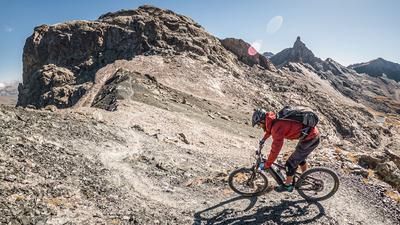
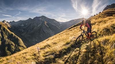
The descent ranges in difficulty from S2 to S3, rides very consistently, and offers increasingly smooth sections at the S1 level on the way back toward Grange Bernard and on to the pass road. Finally, a short trail shortcut ensures that the tour ends back in Chianale.
Map & GPX-Track
The map is only available to Ride subscribers.
The Ride-Subscription is available at ride-mtb.com/abo
.
Details of the tour
18 km
1190 m
1190 m
1806 above sea level
2982 above sea level
1 day
Chianale
Chianale
3806
limited
More information
There are no places to stop for refreshments along the route.
More tours nearby







User comments (0)

About the author: Martin Depauli
Note: This content has been automatically translated from German. Please report any incorrect translations.