

Monte Peyron
Description
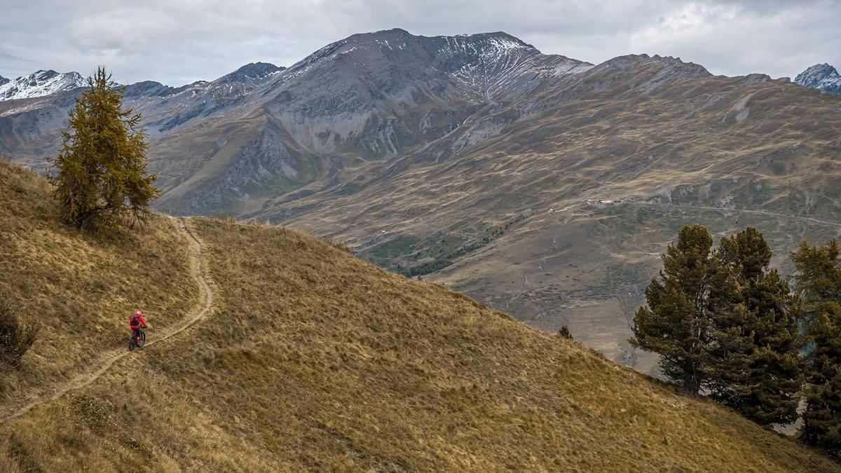
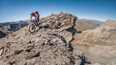
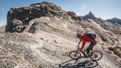
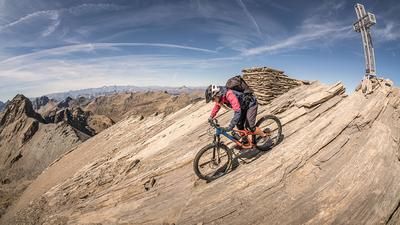
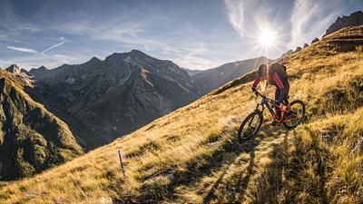
The route begins in the small village of Pontechianale, west of Lago artificiale di Castello. From here, the route rides toward Grange dei Russi over moderate to steep gradients, some of which are very rough and rugged. The climb is tough, but the scenery is breathtaking and largely hidden from the hustle and bustle. At the end of the cart track, you’ll need to carry your mountain bike on your back for about 450 meters of elevation gain up to Colle del Rastel. A detour to Monte Peyron is a must—it offers a great view of Pontechianale, the 3,000-meter peaks, and Monviso.
The trail descent then begins in the heart of the Cottian Alps. The Panoramic Trail is quite smooth to ride, with a difficulty rating of S2. The route descends through larch forests all the way to Pontechianale. Once in Pontechianale, the route leads through the small village and back to the starting point along the very smooth valley trail.
Map & GPX-Track
The map is only available to Ride subscribers.
The Ride-Subscription is available at ride-mtb.com/abo
.
Details of the tour
14 km
820 m
820 m
1603 above sea level
2353 above sea level
1 day
Pontechianale
Pontechianale
3782
not suitable
More information
More tours nearby





User comments (0)

About the author: Martin Depauli
Note: This content has been automatically translated from German. Please report any incorrect translations.