

Monte Motta
Description
The tour begins in Pattemouche at 1,600 meters above sea level. From here, a forest road and a cart track with moderate to gentle gradients ride toward Sestriere and then, via some fairly steep climbs through the ski resort and its infrastructure, up to Monte Banchetta at over 2,800 meters above sea level. The final few meters must be covered by pushing the bike, though the panoramic views make the effort well worth it. Monte Motta can be added as an optional summit. Notable landmarks include Mont Chaberton to the north and the Cottian Alps to the south. The scenic impression is somewhat marred by the impact of winter tourism around Sestriere.
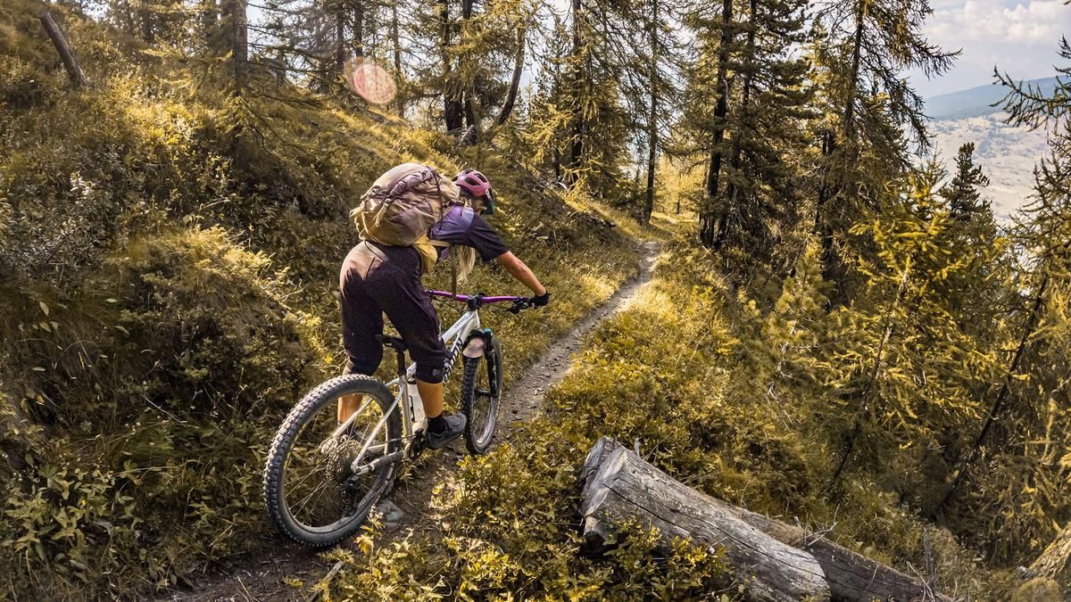
The descent runs southward from the summit above the tree line, offering good panoramic views and rated S2 in difficulty. Unfortunately, the route then continues for 150 meters in elevation along a cart track and subsequently, away from the ski lift operations, onto a hiking trail. This trail leads back to the starting point with a similar level of difficulty. There are some fairly steep sections, so the trail should be dry overall; when wet, the forest floor combined with loose soil in places can make the descent more difficult.
Map & GPX-Track
The map is only available to Ride subscribers.
The Ride-Subscription is available at ride-mtb.com/abo
.
Details of the tour
18 km
1200 m
1210 m
1591 above sea level
2773 above sea level
1 day
Pattemouche
Pattemouche
3810
well suited
More information
More tours nearby


User comments (0)

About the author: Martin Depauli
Note: This content has been automatically translated from German. Please report any incorrect translations.