

Col des Peygus
Description
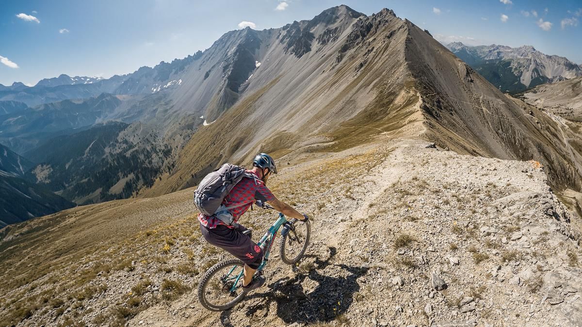
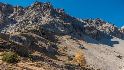
The tour starts in Terre Rouge. From here, the former military road leads steadily uphill on gravel toward Fort Lausette. The climb is quite challenging in some sections, as the road is eroded in places or has loose rocks. At just under 2,250 meters above sea level, you leave the forested area and push or carry your mountain bike to the Col des Peygus, the highlight of the tour. The view here is impressive, especially the vista to the south toward the Col d’Izoard.
That’s also where the first descent begins. On the slate rock typical of the area, the trail winds downhill through sections that are occasionally grassy and, in places, somewhat eroded. Overall, you should expect difficulty levels ranging from S2 to S3. At this pace, the trail leads to Les Chalets d’Izoard. There is a short climb with a traverse, followed by the final trail section toward Le Laus, which is of similar difficulty to the previous sections. Overall, the trail becomes increasingly smooth and consistent to ride. The final meters are on asphalt and gravel before the tour concludes back in Terre Rouge.
Map & GPX-Track
The map is only available to Ride subscribers.
The Ride-Subscription is available at ride-mtb.com/abo
.
Details of the tour
19 km
1160 m
1120 m
1506 above sea level
2572 above sea level
1 day
Terre Rouge
Terre Rouge
3802
limited
More information
More tours nearby












User comments (0)

About the author: Martin Depauli
Note: This content has been automatically translated from German. Please report any incorrect translations.