

Croix de Bretagne Supertrails

Description
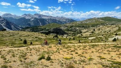
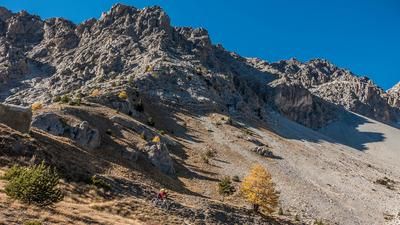
The starting point of the tour is Villar-Saint-Pancrace, just south of Briançon. The ascent goes from zero to a hundred on the little road up to Fort de la Croix de Bretagne. Although this is on a moderate gradient, it has a relatively rough gravel surface. In this way, you climb curve after curve towards the fortress, in the last part spectacularly through steep, rocky terrain with a great view down to Briançon. A little over 700 meters in altitude have to be overcome in this way, until after the fort the road rides largely flat into the Vallée des Ayes. You soon reach a fork in the road and the start of the first descent.
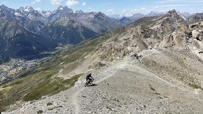
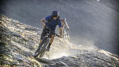
The gravel road becomes narrower and turns into a singletrail at the mountain hut. This winds its way through the steep terrain in S2 style, but generally has a moderate gradient itself. The trail is one of the MTB highlights of the Briançon region. A little above the valley floor, you reach an S3 section with S4 sections in very steep terrain. For safety reasons, it is advisable to take the occasional bend by pushing. However, the key sections are quickly mastered and the last few meters to the valley floor are more flowy.
On the valley floor, you reach the little road up to Ayes, which you follow uphill, pass the mountain village and finally climb up to Mélézin on the opposite side of the valley. This adds up to almost 300 meters in altitude until you reach the brilliant final section at Mélézin. This begins on the right at the first houses and is marked as a bike trail. Here, S2 flow of the highest quality is once again the order of the day! The bends are so well worn in that they almost form small banks. The fun trail leads down to the road you know from the ascent. If you don't have the strength, you can roll the last few meters back to Villar on the little road. Everyone else turns into the asphalt road, climbs a few more meters and then turns into the Chemin du Clot de Triomphe. This offers a great trail finish to this MTB highlight in the Briançon region.Map & GPX-Track
The map is only available to Ride subscribers.
The Ride-Subscription is available at ride-mtb.com/abo
.
Details of the tour
21 km
1050 m
1050 m
1243 above sea level
1995 above sea level
1 day
Briançon
Briançon
2950
well suited
More information
More tours nearby










User comments (4)

About the author: Thomas Giger
Note: This content has been automatically translated from German. Please report any incorrect translations.
The path up to Fort de la Croix de Bretagne is heavily eroded and takes a toll on your stamina. Right now, the climb up to the trails—some of which have also been washed out—isn’t quite worth the effort.
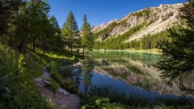
Beautiful bike tour that can easily be combined with a visit to Lac de l'Orceyrette. We continued beyond the lake to the Chalets d'Orcières, where we found a wonderfully fresh, crystal-clear spring at the upper chalet (2,290 m above sea level). The area appears to be home to a dozen—or perhaps even more—magnificent bearded vultures, which treated us to an unforgettable aerial display. (11. Juli 2026)
A fantastic tour with a relatively entertaining uphill section along a panoramic forest road with a pleasant gradient and often good rolling surface. At the end of the 1st long climb, there is a really worth seeing, extensive fortification through which a hiking trail rides (-> definitely explore by bike)! The two long downhill sections are super varied, often flowy, lots of S2 and on the 2nd downhill also with some natural climbs and occasional built ramps. All in all, a real dream tour!!!
Rode today. Super lap on our break day;). Trails were in good condition. There are 2 fountains on the loop and also a small hut.