

Tour du Galibier – Lac des Cerces

Description
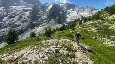
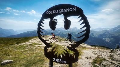
The starting point for this alpine tour is the Col du Lautaret. From here, you’ll climb up to the Col du Galibier alongside road cyclists. At 2,642 meters above sea level, it is one of the highest Alpine passes. A steep trail (S3 with S4 sections) begins at the pass, passing the “Galibier 2550” inn and crossing the plateau just below it. From here, due to a lack of rideable single-track options, you’ll have to cover 350 units of elevation loss on the pass road. That’s the downside of the tour.
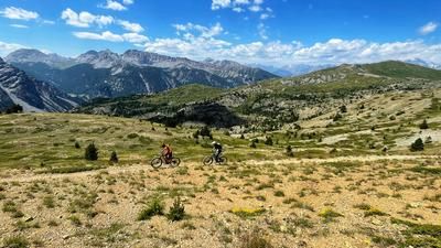
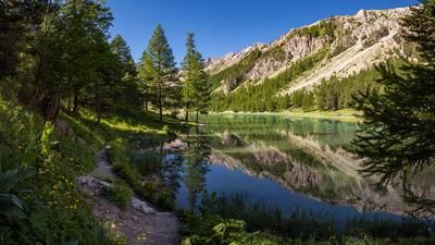
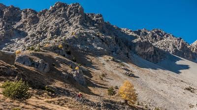
Now you switch to the other side of the valley and climb up a gravel road toward the Col de La Pare. Just before the pass, at a left-hand hairpin curve, you head straight ahead onto a singletrack. This well-maintained trail is easily rideable uphill on an e-mountain bike. It’s also rideable without a motor, though that requires a solid level of fitness. This brings you to the beautifully situated Lac des Cerces, where the second part of the single-track ascent begins shortly afterward. The trail is now a bit more technical, but still rideable on an e-mountain bike. This takes you to the Col de la Ponsonnière. The high-alpine scenery here is fantastic.
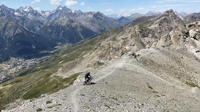
The single-track descent runs along the south side of the Col de la Ponsonnière, past the Cabane à Graul and the Refuge du Clot des Vaches. The scenery is breathtaking; the trail is rated S3 with a few S4 sections. At the very bottom, it gets a bit bumpy until you finally reach the valley floor. If you’ve had enough, ride down to the road and climb back up to the Col du Lautaret along it. If you want to add another highlight, climb a bit up the opposite side to the high-altitude trail that runs parallel to the road. Finally, wind your way back down the switchbacks to the pass road and ride up it to the Col du Lautaret.
Tip:
- Taking a shuttle from Briançon up to the Col du Galibier also lets you avoid the final return ride to the Col du Lautaret.
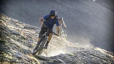
- Due to the single-track climb, this tour is ideal for e-mountain bikes.
Map & GPX-Track
The map is only available to Ride subscribers.
The Ride-Subscription is available at ride-mtb.com/abo
.
Details of the tour
39 km
1500 m
1500 m
1878 above sea level
2634 above sea level
1 day
Col du Lautaret
Col du Lautaret
3790
well suited
More information
More tours nearby











User comments (0)

About the author: Thomas Giger
Note: This content has been automatically translated from German. Please report any incorrect translations.