

Col du Lauzet

Description
So much in advance: If you dare to make the long climb up to Lac du Lauzet, you should definitely choose the descent via the Col de Moussière. The trail is considered one of the best in the region around Briançon. For those who like it a little more spectacular and wild, this variant is the right choice.
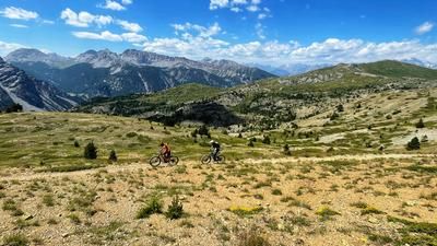
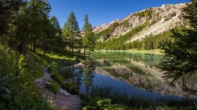
The main part of the ascent is quickly explained: from Mont-Dauphin, a long asphalt road leads uphill at a steady gradient. Gradually, it turns into a gravel road that finally leads to the idyllic Lac du Lauzet at around 2000 meters above sea level. The route continues over the Col du Lauzet and then descends slightly to a small hut. This is where the downhill trail begins: it first leads downhill for around 300 meters before gaining altitude again on the right-hand side along the eastern flank of the Prachaval. The trail climbs again for around 130 meters until you reach the hamlet of Gros after a small saddle on trails and finally on gravel paths.
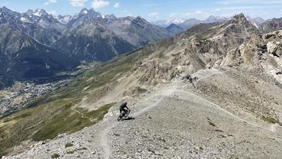
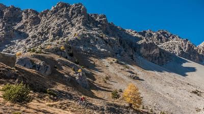
The spectacular final section starts from here: a technically demanding trail with tight hairpin bends, some exposed passages and challenging terrain. For safety reasons, it is advisable to push your mountain bike briefly in some places. If you want to avoid this exposed section, you can alternatively follow the spectacular asphalt road for a while and later turn left onto a winding trail that leads back to the main route.
The tour ends with an impressive section through the lowest part of the Guil Gorge, a rewarding end to this alpine tour in terms of both scenery and riding technique.
Map & GPX-Track
The map is only available to Ride subscribers.
The Ride-Subscription is available at ride-mtb.com/abo
.
Details of the tour
38 km
1505 m
1505 m
1 day
Mont-Dauphin
Mont-Dauphin
3519
well suited
More information
More tours nearby










User comments (3)

About the author: Thomas Giger
Note: This content has been automatically translated from German. Please report any incorrect translations.
September 2026: Not recommended. Numerous mudslides and deep gullies. The trail is no longer passable. With an e-bike, it’s a huge effort—and not without risk—to haul the bike down and back up the slippery 5-meter drop-offs due to its weight.
Where exactly is the trail damaged? In the upper section past Col Lauzet, or in the lower section leading down to the Guil Gorge?
What a wild hike that was! The climb up and down to the Cabane de la Valette is well worth it for the beautiful and impressive surroundings. From this hut on, the trail gets wild: pine trees growing right into the path, scree in the ideal line, eroded sections where the trail slides into stream crossings, and fallen trees that slow down the flow. You can tell it’s hardly ever used, either on foot or by bike. Still, I enjoyed it and would ride it again with the right partner. The Moussière Trail is certainly better, but just not as wild.