

Monte Terra Nera

Description
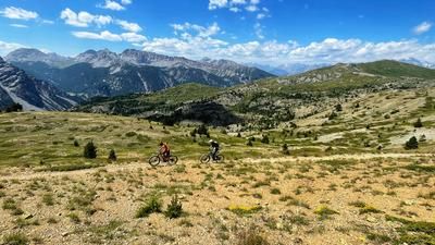
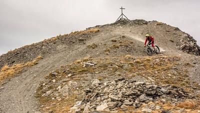
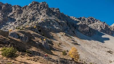
The starting point of the tour is the Valle Argentera near Sestriere. The route starts above Bousson near Thures in the hamlet of Rhuilles (1665 meters above sea level). Now you climb up a gravel road to 2000 meters above sea level, where the path branches off to the right that rides up to Monte Terra Nera. From here, the bike is primarily on your shoulders, but you can also push it in sections. In total, 1100 meters of altitude have to be overcome in this way to the summit of Monte Terra Nera (3100 meters above sea level). The inconspicuous summit offers a great panorama over southern Piedmont and into the Queyras Nature Park.
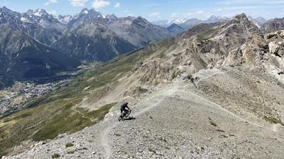
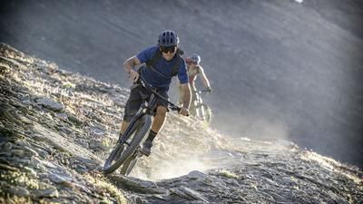
The descent is varied and leads over the wide mountain ridge past the Cima Dormillouse to Monte Giassiez. Now you switch to serpentine mode and zigzag up to 2400 meters above sea level. Now you can either follow the trail downhill to the Chabaud stream. The racier option, on the other hand, involves an additional ascent of 160 meters to Monte Giassiez (2565 meters above sea level). The summit is the starting point of the long singletrail descent to the starting point 900 meters further down.
Map & GPX-Track
The map is only available to Ride subscribers.
The Ride-Subscription is available at ride-mtb.com/abo
.
Details of the tour
23 km
1615 m
1615 m
1665 above sea level
3081 above sea level
1 day
Rhuilles
Rhuilles
2937
not suitable
More information
More tours nearby












User comments (1)

About the author: Thomas Giger
Note: This content has been automatically translated from German. Please report any incorrect translations.
I rode this route on September 11, 2026, starting from Bousson (+4.5 kilometers, +240 meters of elevation gain). Be sure to check the turnoff on your GPS—it’s not visible, nor is the trail across the alpine meadow. It only becomes visible once you’re in the forest. The trail is fast-paced all the way to the high valley; after that, you may need to push your bike a bit until you finally have to carry it past the tree line. The trail is barely discernible but marked with stone cairns; a good sense of direction in the high mountains is essential. The unassuming summit is definitely an impressive experience with a fantastic panorama. The descent trail offers virtually free route choice except on the sections along the ridge. You’ll also have to push your bike and carry it through scree fields from time to time. Starting from the fantastic Bivacco Corradini, I took a creative route to the fork in the trail, since the ridge path to Cima Dorlier didn’t appeal to me. The climb back up to Monte Giassienz is definitely worth it, because afterward, a flowing old military trail leads downhill, and the gravel road—with shortcuts—takes you almost all the way to Rhuilles. Before the bridge, turn left onto the old road back to Bousson. Conclusion: 1,000 meters of pushing and carrying for an amazing summit experience off the beaten path, with a nice descent through high-alpine terrain. Documentation & photos at: https://www.strava.com/activities/20132604760