

Cima del Bosco

Description
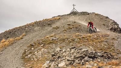
The route starts in Rolliéres, near Sestriere. From here, the route first leads over the Torrente Ripa and then follows the quiet eastern ascent to the Cima del Bosco. At first, a narrow but easy single trail winds its way uphill before it turns into a wider cart track. The rest of the ascent is mostly on gravel and soft forest soil - pleasant to ride and very varied in terms of the landscape. At around 2400 meters above sea level, you finally reach the Cima del Bosco - the "summit of the forest". The name fits: Although sparsely wooded in the upper section, the ridge offers an impressive panorama with views of the surrounding mountains, especially in autumn when the larches turn golden yellow.
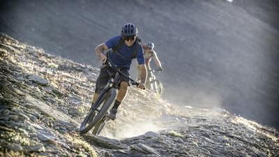
The descent is via Sentiero 621. At a constant S1 level, the trail winds harmoniously downhill to Croce Chalvet. There you cross the 620SB and continue along Sentiero De Veis towards 620A. The entire downhill is very homogeneous and smooth to ride - ideal for less technically experienced bikers who still want to experience alpine terrain. The loop comes to a close back in Rolliéres.
Map & GPX-Track
The map is only available to Ride subscribers.
The Ride-Subscription is available at ride-mtb.com/abo
.
Details of the tour
18 km
915 m
915 m
1475 above sea level
2346 above sea level
1 day
Rolliéres
Rolliéres
3563
well suited
More information
More tours nearby





User comments (0)

About the author: Martin Depauli
Note: This content has been automatically translated from German. Please report any incorrect translations.