

Tscharnoz
Description
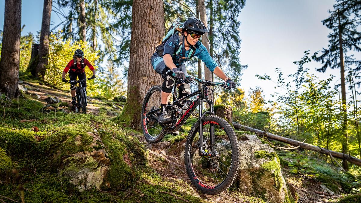
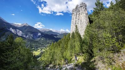
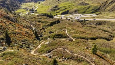
The Tscharnoz Tour is officially marked, but this version extends it slightly. It starts right at the beginning, where—instead of turning directly onto the climb—you first ride along the trails beside the Gelgia up to the elevation of Tinizong. There, you keep to the right and pedal uphill to Rezgia, where you join the official route. This route then climbs 600 meters in elevation along an alpine road to Parnoz, where the view opens up over the Val Surses and the Parc Ela across the valley.
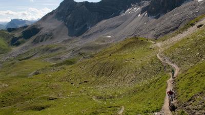
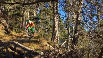
The descent begins immediately with a trail and doesn’t let up until the very end. The beautiful S2 trail leads down to the edge of the forest above Savognin. The signposted route would now continue downhill. In our case, we’re adding an extra loop with an additional 100 meters of elevation gain. This takes you to the trails of the Radons Tour, which then lead downhill at S1 difficulty back to the original starting point in Savognin.
Map & GPX-Track
The map is only available to Ride subscribers.
The Ride-Subscription is available at ride-mtb.com/abo
.
Details of the tour
19 km
900 m
900 m
1172 above sea level
1994 above sea level
1 day
Savognin
Savognin
3233
well suited
More information
More tours nearby













User comments (0)

About the author: Thomas Giger
Note: This content has been automatically translated from German. Please report any incorrect translations.