

Tête de Rissace - Nordseite
Description
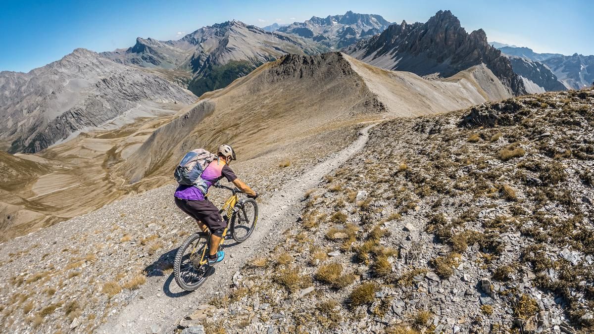
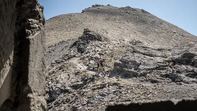
The tour begins in the summer and winter sports resort of Ceillac. From there, the paved access road rides steadily westward, past some very curious stone figures, as you leave the hustle and bustle behind. Toward the end, the valley widens considerably, offering unobstructed views of the Tête de la Cula and Le Peouvou—two striking peaks over 3,000 meters above sea level that mark the edge of the ridge. From the Cabane de la Lavine, you’ll carry your mountain bike; in some sections, you’ll need to push it as well, passing Lake Clausis on your way to the Col de Clausis. The section below the saddle through the expansive cirque is particularly impressive. The route continues along a somewhat exposed path—requiring sure-footedness—for the final meters to the summit at nearly 3,000 meters above sea level. The view is breathtaking, stretching from the Ubaye Valley in the south across the Queyras region in the north to the striking peaks of the surrounding area.
The descent from the summit to the Col de Clausis is not very technically demanding, though there are a few exposed sections during the traverse. Difficulty: S2 to S3. This is followed by a very smooth section across the wide cirque down to Lake Clausis. Rated S2, with occasional S3 sections, the route then descends to the Cabane de la Lavine and continues along the valley floor back to Ceillac. Overall, this is a very inviting tour that can also be completed on a lightweight e-mountain bike, though care must be taken during the traverse near the summit.
Map & GPX-Track
The map is only available to Ride subscribers.
The Ride-Subscription is available at ride-mtb.com/abo
.
Details of the tour
26 km
1280 m
1280 m
1651 above sea level
2903 above sea level
1 day
Ceillac
Ceillac
3813
limited
More information
More tours nearby







User comments (0)

About the author: Martin Depauli
Note: This content has been automatically translated from German. Please report any incorrect translations.