

Bric Froid-Punta Ramière - Queyras
Description
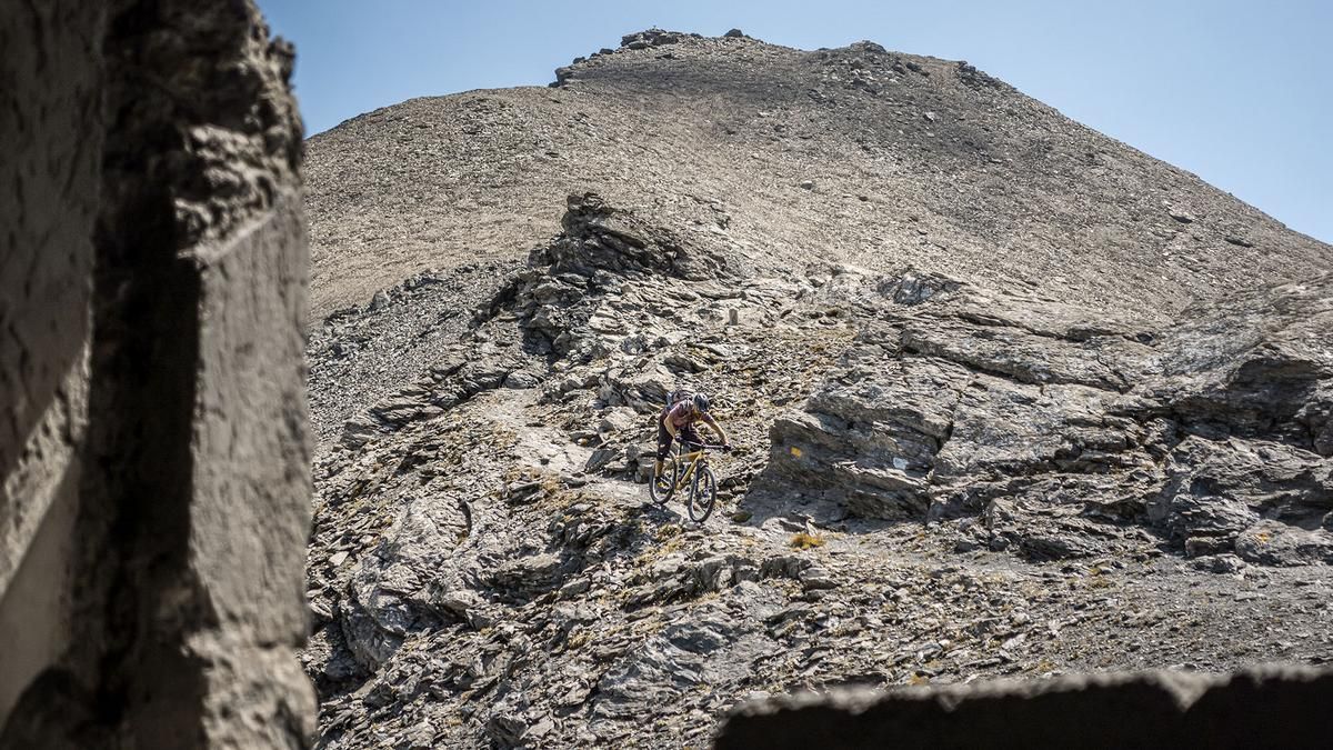
The tour begins at the edge of the Queyras National Park, at the border with Italy. In the small village of La Roux, the route begins on paved road, then continues along a military trail made of gravel and meadows. Later on, you’ll have to push and carry your mountain bike in sections all the way up to Colle di Thuras. The views along the way are truly breathtaking and will set mountain bikers’ hearts racing from the very first second. From the saddle, the actual ascent to the summit begins. Here, there are some very alpine sections that can be easily mastered by mountain bikers who are sure-footed and experienced in alpine terrain. Once you reach the summit at 3,302 meters above sea level, you’re standing right on the Italian-French border and can enjoy a sweeping panoramic view of the surrounding mountains—toward the Susa Valley to the north, the Queyras region to the south, and the Po Valley to the east.
Then the descent begins. The section to Colle della Ramière is rated S3. Unlike the northern route, which is largely unrideable and features extremely long sections where you have to push your bike, the southern route is taken here, leading to the Italian military installations of the Vallo Alpino. Initially very steep, with difficulty levels ranging from S3 to S4, the descent then becomes smoother and settles into S2 to S3, up to an elevation of 2,550 meters above sea level. Afterward, you’ll push your mountain bike back up to Colle di Thuras, followed by a very smooth and well-balanced descent back to the starting point.
Conclusion: Overall, an inviting all-mountain tour or enduro loop with sweeping views, a well-designed trail instead of the emergency descent, and several alpine sections on the ascent.
Map & GPX-Track
The map is only available to Ride subscribers.
The Ride-Subscription is available at ride-mtb.com/abo
.
Details of the tour
18 km
1720 m
1710 m
1755 above sea level
3237 above sea level
1 day
Le Roux
Le Roux
3795
not suitable
More information
More tours nearby


User comments (0)

About the author: Martin Depauli
Note: This content has been automatically translated from German. Please report any incorrect translations.