

Kellerjochhütte
Description
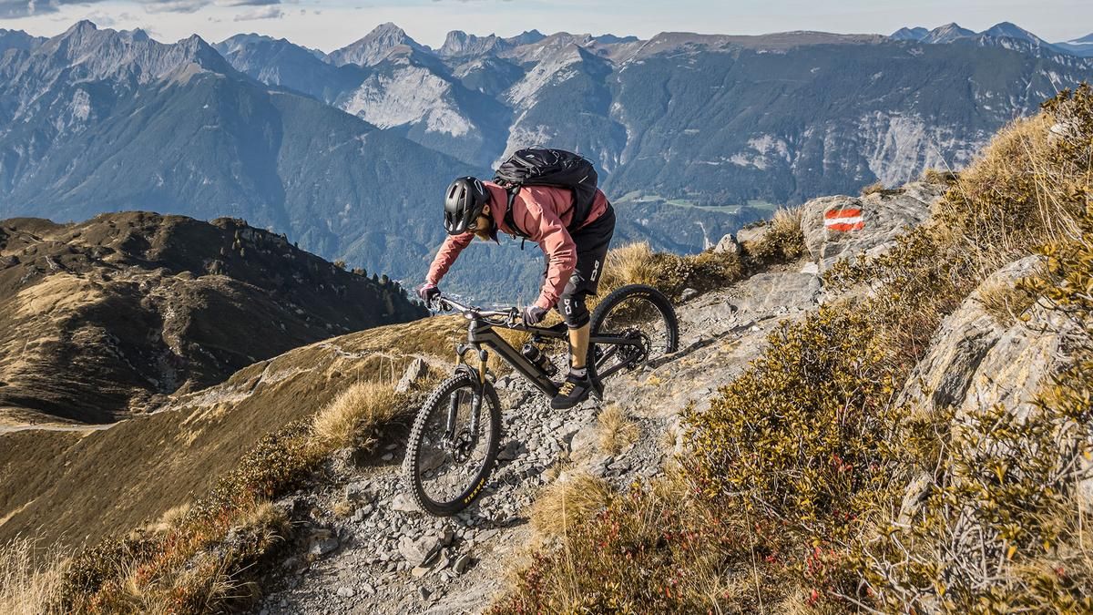
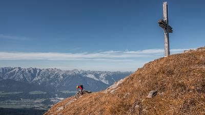
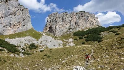
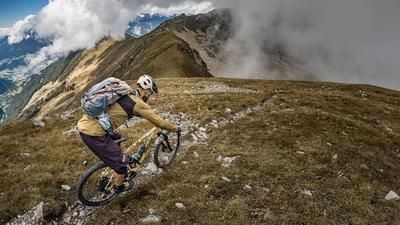
The tour starts in Schwaz. From here, the official mountain bike route follows paved and gravel paths with moderate inclines, climbing steadily toward Hecherhaus. Even during the climb, impressive panoramic views open up over the middle Inn Valley and, to the north, the Karwendel Mountains. The section where you can actually pedal largely ends at the Hecherhaus. From there, the Kellerjochweg continues steadily uphill—mostly pushing the bike and only occasionally pedaling—up to the Kellerjochhütte, which, at 2,237 meters above sea level, marks the highest point of the tour. At the top, an impressive mountain panorama awaits, with sweeping views of the Kitzbühel Alps, the Tux Alps, and the Zillertal Alps to the south, the Hohe Tauern, the Karwendel Mountains, and the Tyrolean Oberland.
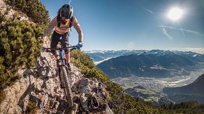
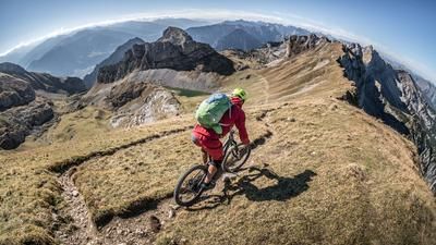
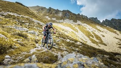
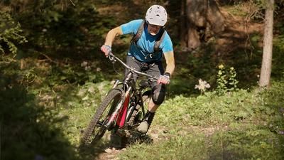
The descent from the Kellerjochhütte to the Hecherhaus follows a trail with an overall difficulty rating of S2, with some sections rated S3. Once you arrive at the Hecherhaus, you continue very smoothly along the Kellerjochweg, past the reservoir, to the Kellerjochbahn or the hamlet of Grafenast. At Grafenast, the smoothest section of the entire tour begins. It leads downhill on an old cart path with S0 and S1 difficulty levels and ends at the Niederleger. Afterward, the trail becomes more challenging again and runs north of the Niederleger at the S2 level through the former uphill section. Here, you can expect more S2 and S3 sections before taking the transfer on asphalt past the forest chapel and then joining the alpine and technically challenging trail along the Lahnbach stream. There are a few short sections where you’ll need to push your bike, but the trail is very narrow and exposed in places. It also requires kick-turn technique with shifting your weight. After these sections, which range from S2 to S3+, you’ll reach the center of Schwaz again and complete the loop.
It should also be noted that this tour should only be undertaken outside of weekends, school breaks, and peak travel season, as the Kellerjochbahn cable car results in increased tourist traffic in the area.
Note: The route is located on Austrian territory and leads over routes that are not approved for mountain bikers. Riding this route on a mountain bike is the responsibility of each individual, in full awareness of the legal situation.
Map & GPX-Track
The map is only available to Ride subscribers.
The Ride-Subscription is available at ride-mtb.com/abo
.
Details of the tour
24 km
1700 m
1700 m
557 above sea level
2170 above sea level
1 day
Schwaz
Schwaz
3829
limited
More information
More tours nearby






User comments (0)

About the author: Martin Depauli
Note: This content has been automatically translated from German. Please report any incorrect translations.