

Firstkogel
Description
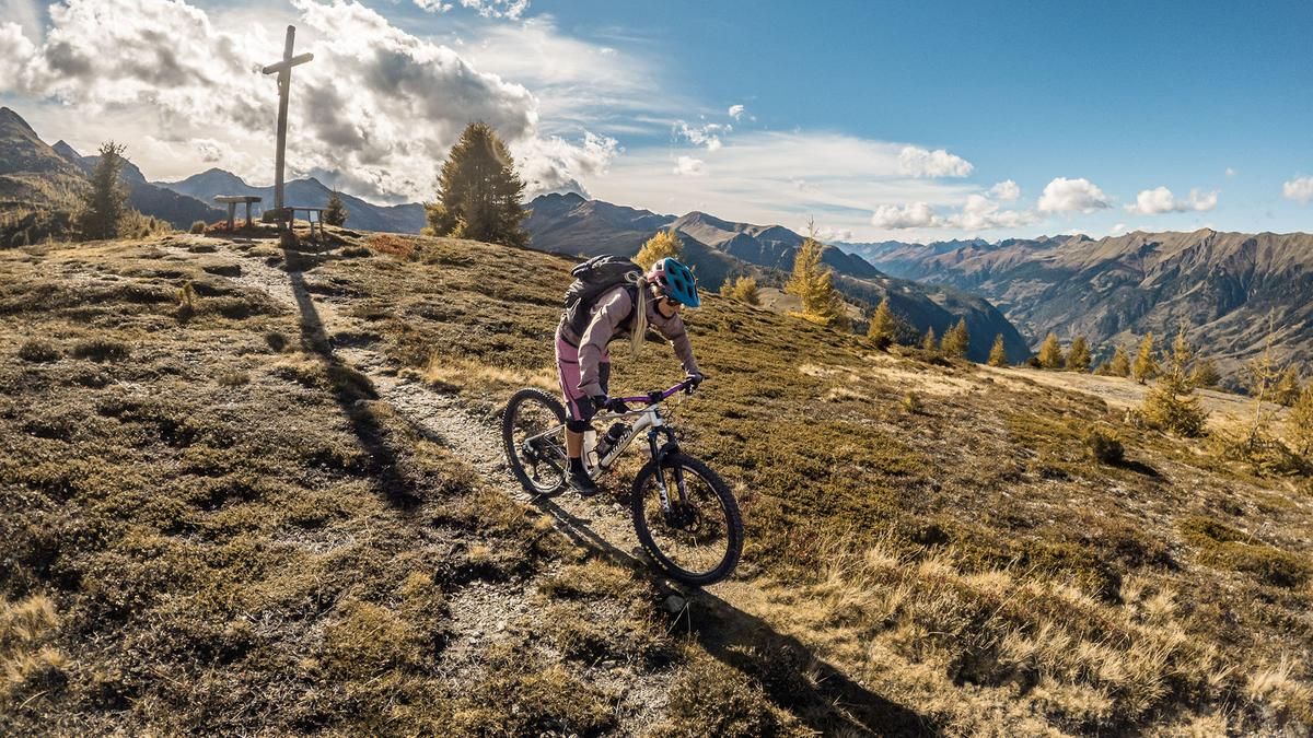
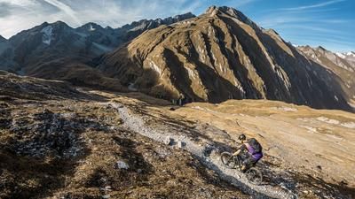
The tour begins in the Defereggental valley near Dölach. From here, the route rides a forest road behind the private brewery, climbing at a moderate gradient toward Gumplalm and the end of the valley. After a relatively long traverse, the ascent begins on the right along a winding path toward Firstkogel and the geographic center of East Tyrol. Along the way, there are excellent panoramic views, as forestry work is currently underway due to the extreme windthrow that occurred several years ago, which has significantly reduced the forested area. The final few meters over the ridge are best covered on foot before reaching the summit cross on the flat ridge with its expansive views. This section has a charm all its own, especially in the fall when the foliage changes color.
The descent then begins, initially heading north toward the Zirm viewpoint before winding further west toward the alpine huts. Up to the alpine huts, the difficulty is rated S2. After that, you’ll take the old alpine trail rated S3, which requires mastery of the kick-turn technique to ride the sometimes very tight kick turns. There is then a brief uphill section on a forest road with a slight incline before you turn onto the final trail section, which leads directly to Hopfgarten in Defereggen. The downhill section is the most difficult part of the tour. Absolutely dry conditions are essential here. In the fall or after rainfall, more than half of this section can only be navigated by pushing the bike, as granite boulders combined with slippery roots make riding—and in some cases even walking—extremely difficult. The difficulty ranges from S3 to S4 in some spots and leads directly down to the Hotel Zedernklang or the wooden bridge, before you head back along the main road to the tour’s starting point. It’s also worth noting that a short section rides through the tunnel, as there is no alternative due to the narrow valley.
Note: The route is located on Austrian territory and leads over routes that are not approved for mountain bikers. Riding this route on a mountain bike is the responsibility of each individual, in full awareness of the legal situation.
Map & GPX-Track
The map is only available to Ride subscribers.
The Ride-Subscription is available at ride-mtb.com/abo
.
Details of the tour
18 km
1170 m
1170 m
1002 above sea level
2114 above sea level
1 day
Dölach
Dölach
3830
well suited
More information
More tours nearby


User comments (0)

About the author: Martin Depauli
Note: This content has been automatically translated from German. Please report any incorrect translations.