

Weinbichl - Süd
Description
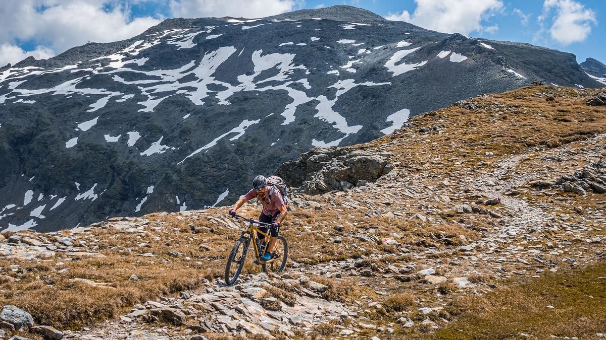
The tour begins at the parking lot of the Matreier Tauernhaus. From here, the maintenance road for the power grid climbs steadily uphill before reaching the long traverse below the Messelingkogel. At the traverse, a magnificent view of the Grossvenediger and the glaciated area opens up. The route then descends a few meters on gravel before the trail becomes increasingly rough; however, it remains relatively rideable up to an elevation of just under 2,350 meters above sea level. From this point on, you’ll have to carry your mountain bike, and after about 20 minutes, you’ll reach the St. Pöltner Hütte. After another 20 minutes, you’ll arrive at the highest point of the tour, the so-called Weinbichl at 2,556 meters above sea level. The view here of Lake Tauern, the main Alpine ridge, the Wilder Kaiser to the north, and the Dolomites to the south is truly unique.
The descent from the Weinbichl to the St. Pöltner Hut has a difficulty rating of S2 to S3 and offers a captivating high-Alpine atmosphere. Near the St. Pöltner Hütte, the trail becomes somewhat more challenging in places, and you follow the old mule trail (Trail No. 511) continuously downhill. You then switch to Trail 512A or stay on the mule trail and subsequently return to Trail 511 until you reach the wooden bridge, which marks the entrance to the Hohe Tauern National Park. At this point, the difficulty level ranges between S2 and S3. Further along, the trail transitions to difficulty levels S3 and S3+, with several challenging key sections. Of particular interest are the recurring fragments of the old mule trail and the historic walls. The trail leads directly downhill above the Wohlgemuthsalm, and finally, you ride back on asphalt to the Matreier Tauernhaus.
Note: The route is located on Austrian territory and leads over routes that are not approved for mountain bikers. Riding this route on a mountain bike is the responsibility of each individual, in full awareness of the legal situation.
Map & GPX-Track
The map is only available to Ride subscribers.
The Ride-Subscription is available at ride-mtb.com/abo
.
Details of the tour
18 km
1000 m
1000 m
1507 above sea level
2499 above sea level
1 day
Matreier Tauernhaus
Matreier Tauernhaus
3762
not suitable
More information
More tours nearby


User comments (0)

About the author: Martin Depauli
Note: This content has been automatically translated from German. Please report any incorrect translations.