

Hexenscharte - Staller Sattel

Description
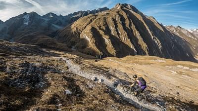
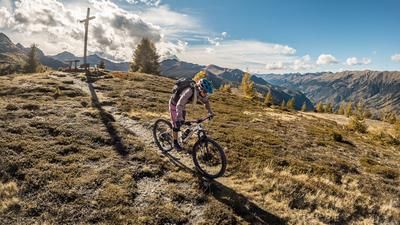
The tour begins in the western and rear area of the Defereggen Valley. In the Erlsbach area, you start on asphalt and pedal steadily up the Defereggental state road to the Staller Sattel. There is an absolute Western Alps flair and the road rides gently towards Obersee, especially in the area of the Staller Alm. The Obersee itself is perfectly embedded, as if in an unreal backdrop between the striking peaks on the national border. The route then continues to the Staller Sattel itself, where some of the military buildings of the Vallo Alpino still stand as silent concrete witnesses. From here, the bike is pushed or carried along the old mule track, which is also part of the Vallo Alpino, through a picture-book landscape until you reach the Hexenscharte. Once you reach the highest point of the tour, the panorama is difficult to describe in words. To the south you have a view of countless striking Dolomite peaks and to the north a view of the Hohe Tauern, making you forget all the exertions of the ascent.
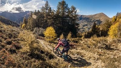
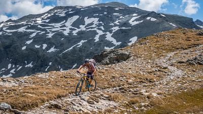
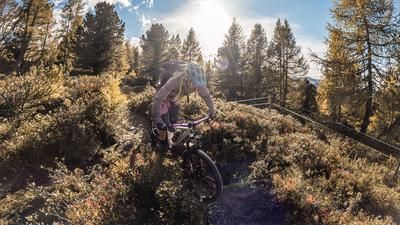
The descent then begins. Overall, the trail from the Schart itself to the start and end point of the tour is between S1 and S3. Flowing and smooth sections then meet hairpin bends with a few rock faces and steep steps to master, making them significant key sections. In dry conditions, as already mentioned, the maximum difficulty level is S3 and the route continues at this pace above the tree line to the Obersee. After passing the Obersee, you can stop for refreshments at the Oberseehütte and then take the next very flowy trail section to the Staller Alm. There is also a refreshment stop at the Staller Alm itself, before the trail continues through Swiss stone pine and larch forests, crosses the Defereggental state road and comes to the final section. With a few hairpin bends and some equally flowing sections, the trail then descends to the Schwarzach. Then, in cross-country style, back to the Defereggental provincial road and back to the starting point of the tour.
Note: The route is located on Austrian territory and leads over routes that are not approved for mountain bikers. Riding this route on a mountain bike is the responsibility of each individual, in full awareness of the legal situation.
Map & GPX-Track
The map is only available to Ride subscribers.
The Ride-Subscription is available at ride-mtb.com/abo
.
Details of the tour
24 km
1055 m
1055 m
1549 above sea level
2606 above sea level
1 day
Erlsbach
Erlsbach
3531
not suitable
More information
More tours nearby


User comments (0)

About the author: Martin Depauli
Note: This content has been automatically translated from German. Please report any incorrect translations.