

Daberlenke
Description
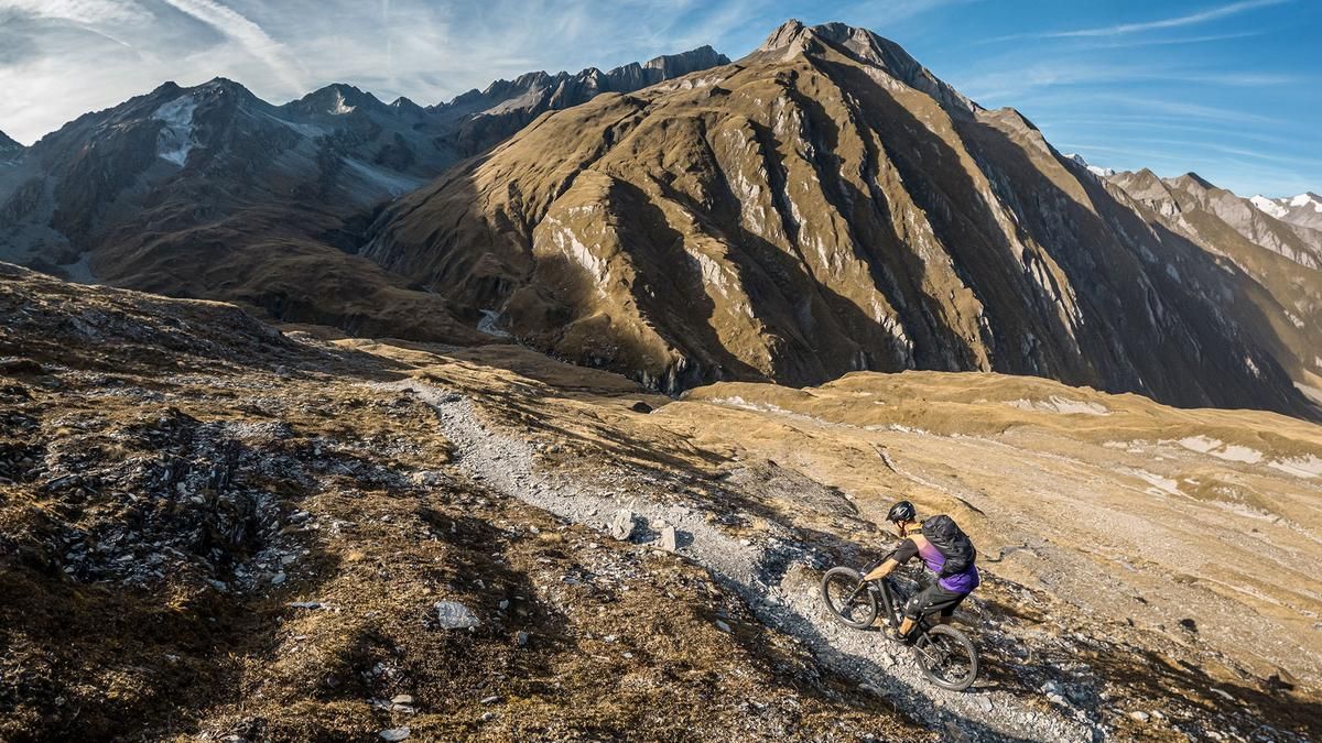
The tour starts in Matrei in East Tyrol. From here, it’s worth taking a shuttle to Sankt Jakob in the Defereggental, as the tour would otherwise be extremely long and challenging. If you want to complete the route under your own power, first follow the bike path directly to Sankt Jakob and then ride through the town before heading steadily uphill on asphalt and gravel through the southern areas toward the Trojer Alm. At the Trojer Alm, the route climbs a few more meters before entering the Hohe Tauern National Park. From this point on, due to the riding ban, you’ll have to push your mountain bike past the Neue Reichenberger Hütte toward Daberlenke. The entire section can be considered an uphill climb, which puts the push section into perspective. At the Neue Reichenberger Hütte, it’s a good spot to stop for a break; in summer, you can also cool off at Lake Bödensee. Afterward, the trail leads toward Daberlenke through a scenically stunning area, surrounded by massive 3,000-meter peaks and an almost surreal backdrop with a distinct Western Alps flair.
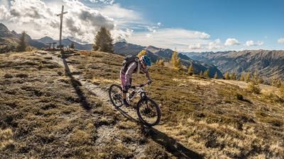
From Daberlenke, as shown on the map, you leave the Hohe Tauern National Park, and this marks the start of the trail section. It is rated between S1 and S4, features a varied route with hairpin turns, and runs mostly over slate rock and sections secured with ropes, plus an uphill section. Thanks to the trail’s width, 95 percent of this section can be ridden with proper riding technique and a head for heights. In the lower section, however, the crossing should be approached with particular caution, ensuring that safety always takes precedence over the rideable section. You then cross the Isel River at the steel bridge and reach the next section of the trail. This leads toward the Ströden hiking parking lot, though the final few meters are ridden on a forest road. Once you arrive in Ströden or the Virgen Valley, follow the official bike path out of the valley toward Virgen and then quickly return to Matrei in East Tyrol via Virgenstrasse. Overall, this is a very challenging, scenically stunning tour that ranks among the best; due to the alpine hazards, it is only suitable for mountain bikers with sufficient fitness, technical skill, and alpine experience.
Note: The route is located on Austrian territory and leads over routes that are not approved for mountain bikers. Riding this route on a mountain bike is the responsibility of each individual, in full awareness of the legal situation.
Map & GPX-Track
The map is only available to Ride subscribers.
The Ride-Subscription is available at ride-mtb.com/abo
.
Details of the tour
48 km
1460 m
1920 m
933 above sea level
2629 above sea level
1 day
Matrei in Osttirol
Matrei in Osttirol
3833
limited
More information
More tours nearby


User comments (0)

About the author: Martin Depauli
Note: This content has been automatically translated from German. Please report any incorrect translations.