

Kleiner Leppleskofel
Description
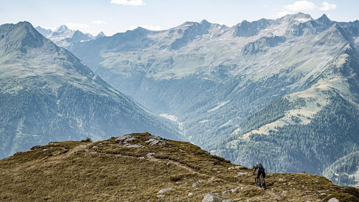
The trail starts at the valley station of the St. Jakob ski center, right next to the Brunnalmbahn. From here, a classic forest road leads steadily uphill through the ski area. At first you ride through wooded terrain, later, above the tree line, impressive views open up - especially in a northerly direction.
At this pace, you reach the Ochsenlacke reservoir, which was artificially created for snowmaking but blends harmoniously into the landscape from several angles and makes an impressive sight. From here, the pedalable section ends: the mountain bike is now carried in a wide arc up to the Kleine Leppleskofel.
From the summit, there is a breathtaking panoramic view over the Hohe Tauern, the surrounding mountain ridges and as far as the state border with South Tyrol. The descent then begins - and it's a tough one: technically very demanding, the trail rides downhill in difficulty levels S3 to S4 to the level of the Ochsenlacke reservoir.
From there, the trail becomes much easier and runs as a narrow ridge trail with difficulty level S2. This section is very exposed in places - a sure footing and a head for heights are essential here. In several hairpin bends, where the offset technique is an advantage, you ride through picturesque alpine meadows and sparse larch forests down to the Brunnalmbahn.
A short gravel transfer continues to the Weissspitzbahn valley station. A perfectly laid out mule trail begins there, leading down to the Bruggeralm on difficulty levels S1 to S2. This serviced hut invites you to stop for a bite to eat with regional delicacies.
From the Bruggeralm, continue along a short forest road until you turn into the Erlsbachersteig trail. This final section of the trail delights with its alpine character and varied passages at difficulty level S2, in places S3. A worthy finale that leads directly back to the starting point.
Note: The tour can generally be completed on an e-mountain bike. However, the summit is difficult to reach - the ascent ends at the Ochsenlacke reservoir. Alternatively, you can join the trail directly from there.
Note: The route is located on Austrian territory and leads over routes that are not approved for mountain bikers. Riding this route on a mountain bike is the responsibility of each individual, in full awareness of the legal situation.
Map & GPX-Track
The map is only available to Ride subscribers.
The Ride-Subscription is available at ride-mtb.com/abo
.
Details of the tour
18 km
1020 m
1020 m
1415 above sea level
2435 above sea level
1 day
St. Jakob in Defereggen
St. Jakob in Defereggen
3506
limited
More information
More tours nearby


User comments (0)

About the author: Martin Depauli
Note: This content has been automatically translated from German. Please report any incorrect translations.