

Cima Dormillouse
Description
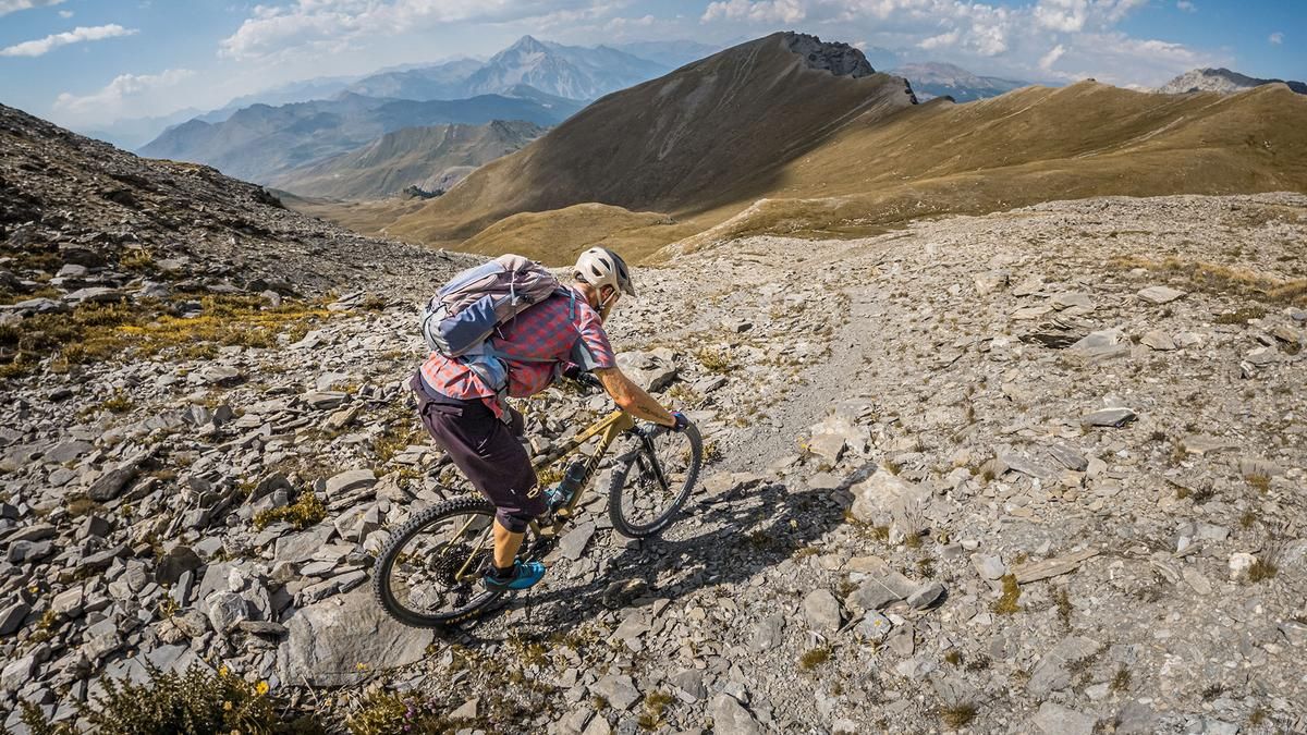
The tour begins in the small village of Bousson. At the large Caserma Monginevro military base, follow the old Vallo Alpino military road southward and then climb steadily uphill—with some very steep sections—to Colle Chabaud. Along the way, there are a few “lost places” to discover. You can still ride a few meters along the old military ramp before you have to push your mountain bike—and eventually carry it for a short stretch—to reach the summit area, climbing from 2,150 to 2,900 meters above sea level. In the upper section, Lac du Fond and the Corradini Bivouac are real highlights, complemented by very interesting views. The summit area, in particular, offers views that are in a class of their own. Alternatively, the tour can be extended to the Pointe de Terre Noire, though this traverse offers little in terms of riding, as the terrain is undulating and constantly goes up and down.
The descent also begins at the summit. The entire ascent route features difficulty levels S2 to S3 on the descent to Colle Chabaud. The descent is legendary and, except for a few short sections near Lac du Fond, an absolute blast. Afterward, you ride a few meters on the gravel road, cross the military road below the Petit Cric toward Roche Courbe, and reach the next challenging trail. With hairpin turns, flowing sections, and a few key sections, the descent continues at difficulty levels S2 to S3. Just before that, you take a short trail shortcut before the tour ends in Bousson.
Map & GPX-Track
The map is only available to Ride subscribers.
The Ride-Subscription is available at ride-mtb.com/abo
.
Details of the tour
23 km
1520 m
1500 m
1433 above sea level
2858 above sea level
1 day
Bousson
Bousson
3800
not suitable
More information
There are no places to stop for refreshments along the route.
More tours nearby





User comments (0)

About the author: Martin Depauli
Note: This content has been automatically translated from German. Please report any incorrect translations.