

Monte Maniglia - Val Bellino
Description
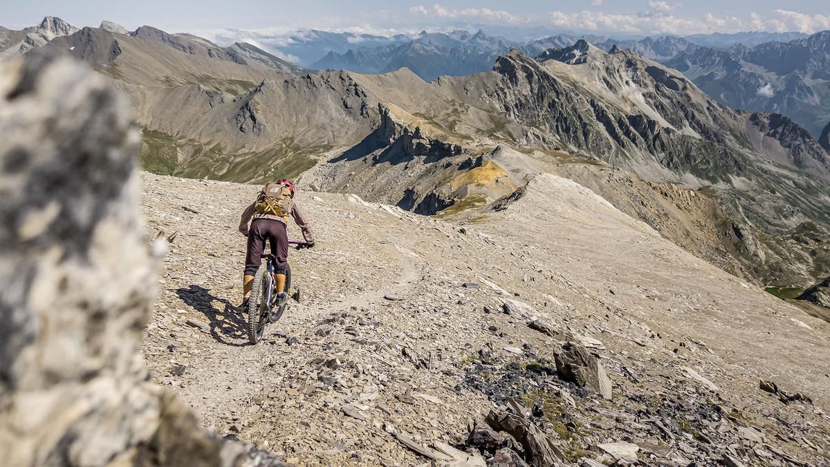
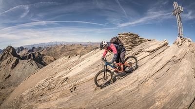
The tour begins at the end of Val Bellino near Rifugio Melezé. The route starts on asphalt, then becomes very steep on coarse gravel, passing several Vallo Alpino installations and following the U27 long-distance hiking trail steadily uphill toward the south. Maintenance work is currently underway in the lower section, which is why the trail has been made less challenging there. You’ll continue uphill—pushing your bike or pedaling in sections—until you reach Grange dell’Autaret. In the wide basin, the view of Monte Maniglia already opens up. After that, you’ll carry your mountain bike on your back and climb the steep slope to the saddle opposite Monte Bellino. From there, you’ll already be treated to impressive panoramic views of the Maira Valley, the Ubaye Valley, and the Varaita Valley. There are still a few meters of elevation gain to the summit before reaching the tour’s highest point at 3,177 meters above sea level. In terms of panoramic views, the Cottian Alps have a lot to offer here. On a clear day, the sweeping vistas extend over Monviso into the Maira Valley and deep into France—they feel endless.
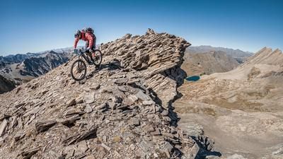
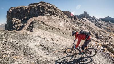
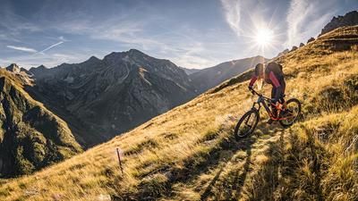
Then the descent begins. Through a mix of S2 and S3 sections, the route leads down the ridge from the summit—a spine-tingling, speechless experience. This is followed by a short climb with a section where you’ll need to push your bike to the saddle, and then a fairly rocky hairpin trail—where hairpin technique is essential—back toward Grange dell’Autaret. There, the trail becomes smoother again and leads back to the starting point with a few short climbs rated S2, and occasionally S3.
Map & GPX-Track
The map is only available to Ride subscribers.
The Ride-Subscription is available at ride-mtb.com/abo
.
Details of the tour
18 km
1310 m
1310 m
1837 above sea level
3099 above sea level
1 day
Sant'Anna
Sant'Anna
3796
not suitable
More information
More tours nearby





User comments (0)

About the author: Martin Depauli
Note: This content has been automatically translated from German. Please report any incorrect translations.