

Monte Ferra
Description
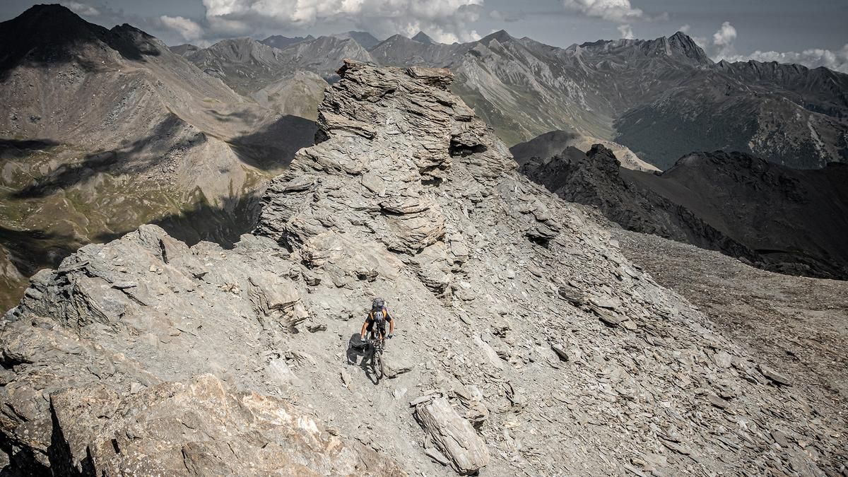
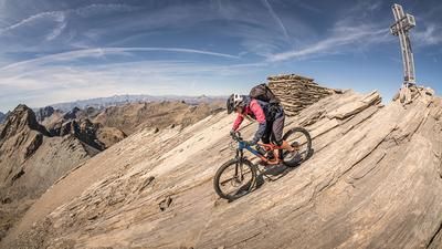
The tour starts in Val Bellino near Sant'Anna. The route begins on asphalt and later switches to gravel, climbing steadily to the end of Val Bellino. At Pian Ceiol, you’ll follow the Sentiero U26 to gain more elevation. In some sections, you’ll have to carry your mountain bike. The landscape is impressive, and Cima Rocca Senghi, with its military installations, towers strikingly over the route. On the high plateau, you can ride your mountain bike again before continuing uphill to the right toward Monte Ferra in the cirque. At 3,094 meters above sea level, you reach the highest point of the tour, marked by a summit cross. Here, in the heart of the Cottian Alps, breathtaking panoramic views open up.
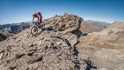
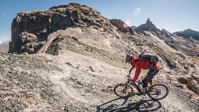
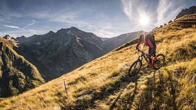
Then the descent begins. In the upper section, the route is somewhat exposed and alpine—rated S3 in difficulty—running over rock slabs and, in places, loose stones, gravel, and sand all the way to Lago Reisassa. After Lago Reisassa, the terrain remains similar at first, before the trail becomes somewhat smoother and settles into a difficulty level of S2 to S3. At an elevation of just under 2,300 meters above sea level, you’ll come across an old switchback mule trail that leads steadily downhill and becomes increasingly easier and smoother. The loop concludes at Sant’Anna.
Map & GPX-Track
The map is only available to Ride subscribers.
The Ride-Subscription is available at ride-mtb.com/abo
.
Details of the tour
15 km
1200 m
1200 m
1813 above sea level
3017 above sea level
1 day
Sant’Anna
Sant’Anna
3783
not suitable
More information
More tours nearby





User comments (0)

About the author: Martin Depauli
Note: This content has been automatically translated from German. Please report any incorrect translations.