

Giro Bric Rutund

Description
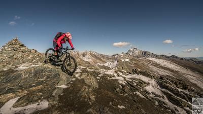
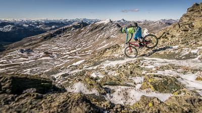
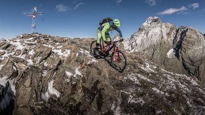
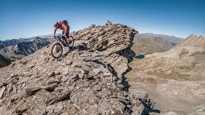
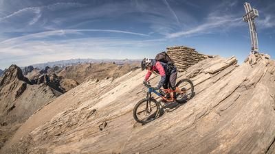
The route starts in the village of Sampeyre in the Varaita Valley. From here, you can either take the chairlift or ride up the ascent—first on asphalt and later on gravel—along the access road to Colle di Sampeyre. The climb up to that point is long, but the reward—a breathtaking view—is well worth the effort. The route continues westward on the Strada dei Cannoni—a World War II military road that was part of the Vallo Alpino—toward Colle della Bicocca. Here, the route winds its way through the landscape before finally switching to a singletrack, or mule trail, where you’ll push your mountain bike uphill toward Pelvo d’Elva. The ridge section runs along a stone-paved path with dry-stone walls and is relatively manageable even on an e-mountain bike.
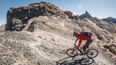
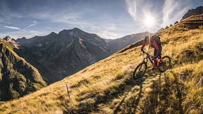
You then ride on a singletrack north of Pelvo d’Elva with breathtaking panoramic views, experiencing a classic descent typical of the Valle Maira. Rated S2 for difficulty, the route generally starts above the vegetation and tree line, then descends through forested terrain to Ponte Pelvo. Afterward, you wind your way down the Valle Bellino toward the east into the Valle Varaita, alternating between the main road and trail sections, passing through Casteldelfino; those who wish can optionally tackle a short climb back up with another trail section and ride directly to Torrette via forest and meadow paths, returning to the starting point in Sampeyre. All in all, this is a very long, impressive tour that appeals especially to highly fit touring cyclists, as the descents are technically moderate, the natural scenery is truly memorable, and most of the route is generally quiet.
Map & GPX-Track
The map is only available to Ride subscribers.
The Ride-Subscription is available at ride-mtb.com/abo
.
Details of the tour
48 km
1940 m
1940 m
958 above sea level
2644 above sea level
1 day
Sampeyre
Sampeyre
3752
limited
More information
More tours nearby





User comments (0)

About the author: Martin Depauli
Note: This content has been automatically translated from German. Please report any incorrect translations.