

Pic de Foréant
Description
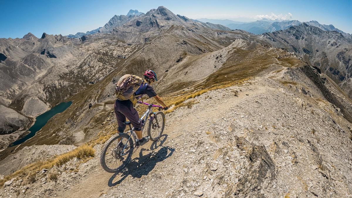
The tour begins right at the pass road leading to Col Agnel. From here, the route follows a paved road with a moderate gradient and impressive panoramic views, above the tree line, all the way to Refuge Agnel. From there, you continue a few more meters on asphalt before turning left onto the hiking trail and riding your mountain bike up from 2,650 meters above sea level to 3,050 meters above sea level. About two-thirds of this section is covered by carrying the bike before reaching the tour’s highest point. The view toward Lac Foréant, Monviso, and the Queyras region is impressive.
The descent is just as thrilling. With a difficulty rating of S2—and only occasional S3 sections—the most technically challenging part of the tour, the stretch from Col de L’Eychassier to Refuge Agnel, is already behind you. From Refuge Agnel, a very smooth, inviting S1-level trail descent leads directly back to the tour’s starting point.
Map & GPX-Track
The map is only available to Ride subscribers.
The Ride-Subscription is available at ride-mtb.com/abo
.
Details of the tour
16 km
820 m
810 m
2161 above sea level
2968 above sea level
1 day
Pierre Grosse
Pierre Grosse
3797
not suitable
More tours nearby


User comments (0)

About the author: Martin Depauli
Note: This content has been automatically translated from German. Please report any incorrect translations.