

Caramantran – Queyras
Description
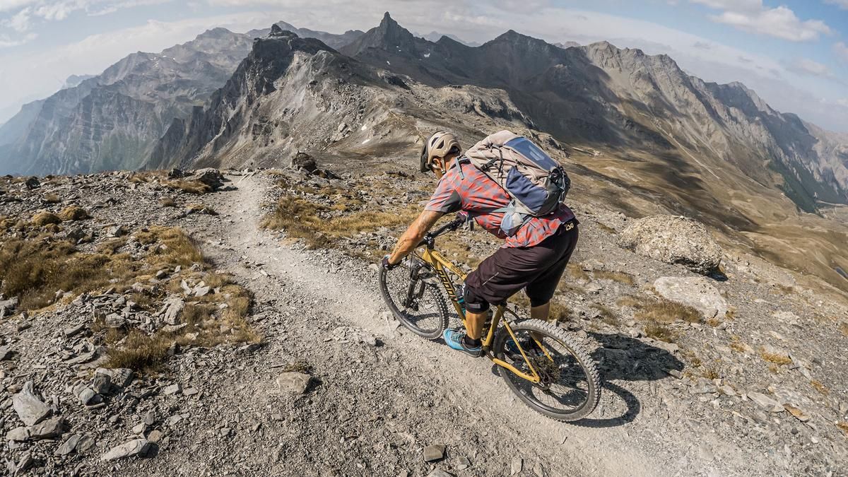
The tour begins in the small village of Pierre Grosse. From here, the route follows the D205 main road toward Col Agnel, climbing steadily at a moderate gradient, accompanied by sweeping, impressive views of the landscape. At Refuge Agnel, there’s a short stretch of paved road, after which the GR 58 long-distance trail continues to Col de Chamoussière—at first riding, but sometimes pushing the bike. The pass itself is very flat, and from here it’s only a few meters to the summit. However, you should orient yourself toward the northern area, as there is a short section where you’ll need to carry your bike at Il Pelvo Cima Sud, and Il Pelvo Nord towers three meters above the southern summit. At the highest point of the hike, the views open up to Monviso, the Varaita Valley, the Maira Valley, the Queyras region, and—to the north—countless striking peaks.
The descent then begins, first directly from the summit at S2, with occasional S3 sections, and then continues downhill at a similar pace. The terrain rides like a carpet in places, the lines are smooth, and outside of peak travel times, there’s hardly anyone out here. The route continues to the Refuge Agnel and from there even more smoothly along the hiking trail back to the starting point, with a mountain bike park vibe and, when dry, fine dust. All in all, a mountain bike tour at over 3,000 meters above sea level in the heart of the Cottian Alps, which stays largely off the beaten path. With a lightweight e-mountain bike, even the alternative ascent routes are relatively manageable.
Map & GPX-Track
The map is only available to Ride subscribers.
The Ride-Subscription is available at ride-mtb.com/abo
.
Details of the tour
32 km
1160 m
1160 m
1904 above sea level
2977 above sea level
1 day
Molines-en-Queyras
Molines-en-Queyras
3798
limited
More information
More tours nearby


User comments (0)

About the author: Martin Depauli
Note: This content has been automatically translated from German. Please report any incorrect translations.