

Kuhmesser
Description
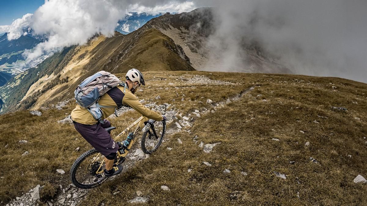
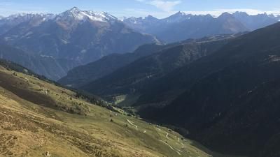
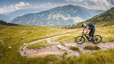
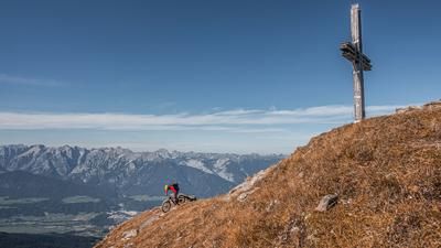
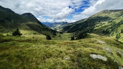
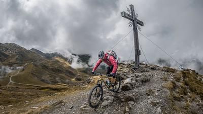
The tour begins at the valley station of the Panoramabahn in Geols. From there, the route follows the Hochfügenerstrasse on asphalt toward Hochfügen and, just before reaching it, turns right onto a gravel path. The route continues at a moderate incline to the Loas Pass at 1,675 meters above sea level. The uphill climb offers scenic and varied views. At the Loas Saddle, you’ll shoulder your mountain bike and hike the remaining 500 meters of elevation gain to the Kuhmesser—also known as Kuhmöser—at 2,264 meters above sea level. The view from the top is impressive due to the mountain’s exposed location, especially the view toward the Metzenjoch, the Kellerjoch Hut, the Karwendel, and the 3,000-meter peaks in the Zillertal.
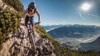
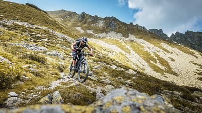
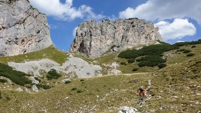
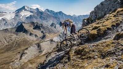
Even during the portage section, it becomes clear just how technical the descent will be. From the summit to the Loas Saddle, the terrain is primarily S3 to S4 in difficulty, with the S4 sections distributed throughout the route and requiring occasional pushing or carrying. About 95 percent of the route is rideable for technically skilled riders. Back at the Loas Pass, the descent follows Hiking Trail 313 very smoothly toward the Schellenberg Alm inn. Just before reaching it, there’s a short intermediate climb, after which the final trail shortcuts at S1 to S2 difficulty levels lead back to the starting point.
Note: The route is located on Austrian territory and leads over routes that are not approved for mountain bikers. Riding this route on a mountain bike is the responsibility of each individual, in full awareness of the legal situation.
Map & GPX-Track
The map is only available to Ride subscribers.
The Ride-Subscription is available at ride-mtb.com/abo
.
Details of the tour
18 km
1090 m
1080 m
1224 above sea level
2173 above sea level
1 day
Geols Panoramabahn
Geols Panoramabahn
3819
not suitable
More information
More tours nearby














User comments (0)

About the author: Martin Depauli
Note: This content has been automatically translated from German. Please report any incorrect translations.