

Friesenberghaus Direttissima

Description
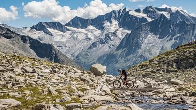
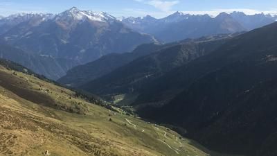
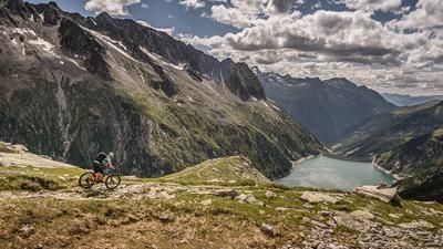
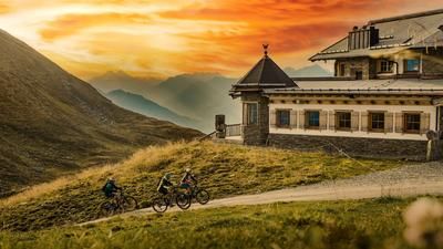
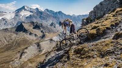
The route starts at the parking lot near Gasthof Breitlahner. From here, the route follows a moderate gradient on gravel and a flowing uphill trail to the Schlegeis reservoir. After the initially quite idyllic uphill section, the route winds steadily uphill on asphalt along the Schlegeis-Alpenstrasse until just before the dam wall. Shortly before the tunnel, turn right onto a forest path, which becomes path 532. From this point onwards, the bike can only be pushed or carried uphill, with the uphill ending at the Friesenberghaus (2498 meters above sea level) or the Friesenbergsee lake. A fantastic mountain backdrop presents itself and views as far as the Schlegeiskees and towards the Schwarzensteinkees open up.
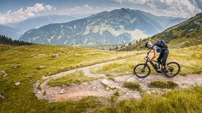
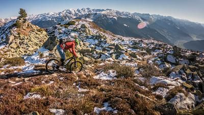
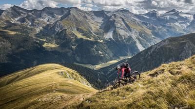
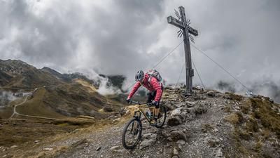
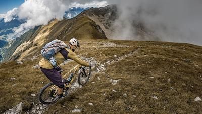
An absolute dream panorama and an absolute dream trail, but difficulty S3 to S4 throughout. It is still quite easy to ride at the right speed and with the right choice of line, but the hairpin bends are sometimes very demanding. This is where the maximum is demanded of the biker. There is everything from a staggered, trail-heavy approach to a clever choice of line. Especially just before the Schlegeis reservoir, the difficulty remains almost at S4 throughout. The trail then becomes easier below the Schleigeis wall. At a difficulty level of S2 to S3, the family hiking trail is relatively flowy back to the ascent variant before the last approx. 200 Elevation losses demand another S2 to S3 level.
Note: The route is located on Austrian territory and leads over routes that are not approved for mountain bikers. Riding this route on a mountain bike is the responsibility of each individual, in full awareness of the legal situation.
Map & GPX-Track
The map is only available to Ride subscribers.
The Ride-Subscription is available at ride-mtb.com/abo
.
Details of the tour
23 km
1160 m
1160 m
1264 above sea level
2433 above sea level
1 day
Rauth
Rauth
2507
not suitable
More information
More tours nearby







User comments (0)

About the author: Martin Depauli
Note: This content has been automatically translated from German. Please report any incorrect translations.