

Plauener Hütte

Description
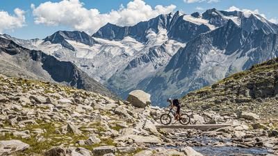
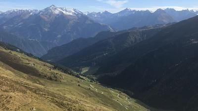
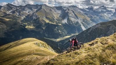
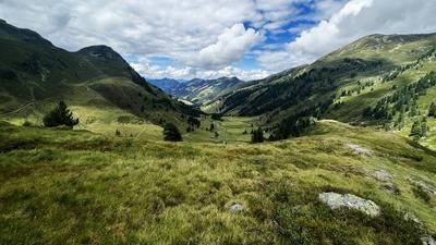
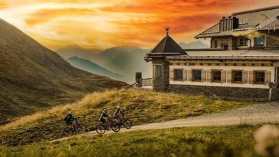
The starting point of the tour is Mayrhofen. From here, the route follows the historic, old Zillergrund road for several kilometers through a legendary mountain panorama, framed by the 3000 m peaks of the Zillertal Alps up to the Zillergründl reservoir. An eternal ascent, but one that makes you forget everything thanks to its variety and scenic beauty. From the Zillergründl, the bike is then carried up to the Plauener Hütte. At 2364 meters above sea level, one of the best serviced huts in the entire Zillertal awaited us. The Plauener Hütte scores with regional delicacies and impeccable and friendly service. You feel like you're in seventh heaven at the hut. The scenery is a real treat and the Reichenspitze with the Kuchelmooskees seem close enough to touch.
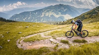
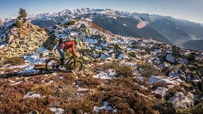
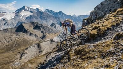
After recharging your batteries, you set off on the downhill trail. From difficulty S3 to S4, you wind your way back to the Zillergründl reservoir. A technically very demanding descent, but a great pleasure for advanced and technically minded bikers. The transfer to Adlerblick runs along the reservoir before continuing in the same manner. Quite flowy in places, but you can expect merciless hairpin bends and steep sections. You surf parallel along the Zillergrund on S0 and S1 trails to the riverbed, before adding a small uphill after the toll booth towards Pignellen and then taking a historic trail to Mayrhofen on difficulty S2. Due to the fact that the Zillergründl reservoir is heavily frequented, the tour is only suitable outside of the vacation season or during the week so that you can enjoy it to its full length.
Shuttle tip: The ascent to Bärenbad (1450 meters above sea level) is also possible by car, but only a limited number of cars are permitted each day.
Note: The route is located on Austrian territory and leads over routes that are not approved for mountain bikers. Riding this route on a mountain bike is the responsibility of each individual, in full awareness of the legal situation.
Map & GPX-Track
The map is only available to Ride subscribers.
The Ride-Subscription is available at ride-mtb.com/abo
.
Details of the tour
49 km
1810 m
1810 m
668 above sea level
2348 above sea level
1 day
Mayrhofen
Mayrhofen
2437
not suitable
More information
More tours nearby










User comments (0)

About the author: Martin Depauli
Note: This content has been automatically translated from German. Please report any incorrect translations.