

Friesenberghaus – Olpererhütte

Description
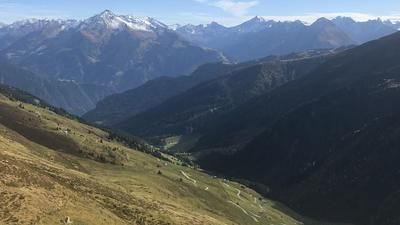
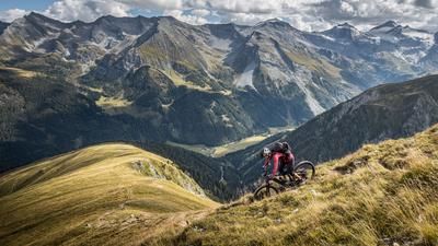
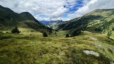
The route starts at the parking lot near Gasthof Breitlahner. From here, the route follows a moderate gradient on gravel and a flowing uphill trail to the Schlegeis reservoir. On asphalt, the Schlegeis-Alpenstrasse winds its way steadily uphill until just before the dam wall. Shortly before the tunnel, take the inconspicuous forest path on the right, which turns into path 532. From this point onwards, the bike can only be pushed or carried uphill, climbing meter by meter up to an altitude of 2600 meters above sea level. A fabulous panorama emerges in the middle of the Zillertal Alps.
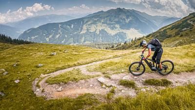
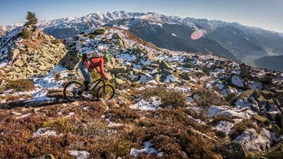
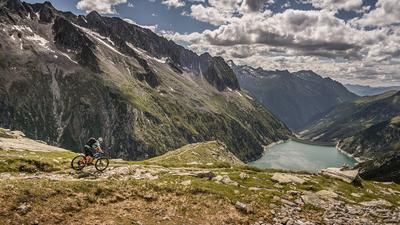
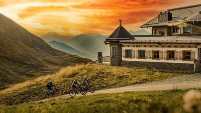
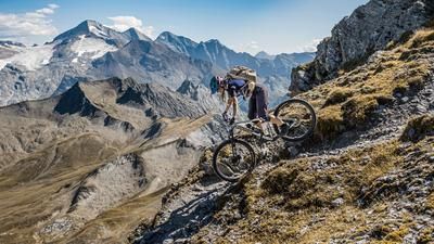
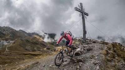
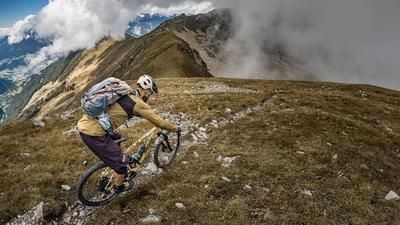
Past the Friesenbergsee lake, the route then takes you onto the Berliner Höhenweg and the 526er trail to the Olpererhütte. The downhill itself is extremely flowy to ride in parts, but always has difficult sections from S3 to S4. From the Olpererhütte, the route continues in the same manner. Difficulty S3 to S4 is to be expected here. The granite slabs and the slight gradient in the bends give you nothing away. Perfect hairpin bend technique with trail-heavy inserts is required here to be able to circle the trail. Once you reach the Schlegeis reservoir, you briefly follow the asphalt road before taking the next single trail right by the dam wall. On difficulty S2, in places S3, you ride to the bottom outlet. At the Grundablass itself, you return to the family hiking trail on difficulty S1 to S2 until you reach the ascent variant at the quarry. Here the trail becomes a little more difficult again and continues on S2 to S3 back to the Breitlahner parking lot. All in all, one of the most impressive bike tours in the Zillertal Alps. The mountain world is particularly high alpine and impressive. It should be noted, however, that the tour should definitely be tackled outside of travel times due to the high frequency of use.
Map & GPX-Track
The map is only available to Ride subscribers.
The Ride-Subscription is available at ride-mtb.com/abo
.
Details of the tour
26 km
1340 m
1340 m
1248 above sea level
2594 above sea level
1 day
Rauth
Rauth
2508
not suitable
More information
More tours nearby








User comments (0)

About the author: Martin Depauli
Note: This content has been automatically translated from German. Please report any incorrect translations.