

Gedrechter
Description
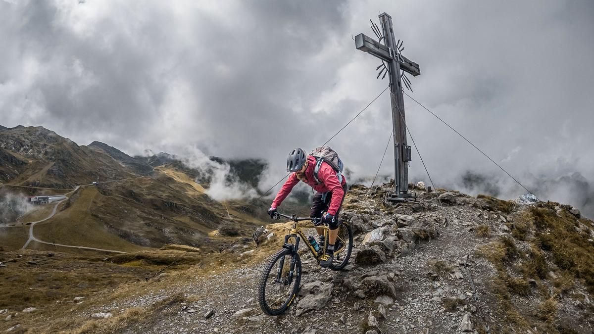
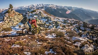
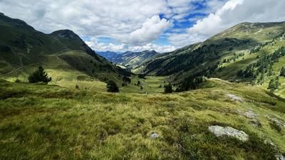
The tour starts right in Ried im Zillertal. From here, the route follows Riedbergstrasse and the Zillertaler Höhenstrasse on paved roads, climbing steadily uphill—with some interesting panoramic views along the way—until you finally arrive in the Hochzillertal area, near the Zirmstadl and the Platzlalm. Here, you leave the paved road and pedal uphill on gravel—with some fairly steep sections—toward the Sonnenjet mountain station. The final few meters to the summit of the Gedrechter are covered by pushing your bike, before you reach the tour’s highest point at 2,217 meters above sea level. The view stretches from the Rofan Mountains over the mighty 3,000-meter peaks in the Zillertal to the Inn Valley and the Tux Alps.
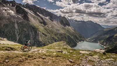
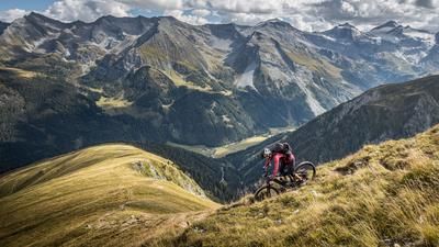
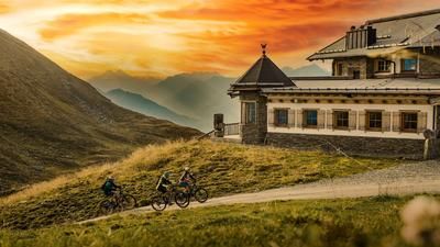
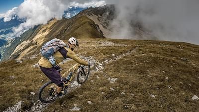
Then the descent begins. It heads north with a very smooth ride featuring difficulty level S2, a short S3 section, and then continues clockwise around the summit. Afterward, the route follows a perfectly laid-out singletrack with an unobstructed view toward the Hubertus Chapel. From there, you briefly use the access road to the Hochalmhütte, which offers a small refreshment stand during the season, and then reach the next trail highlight: an old alpine trail that winds downhill for what feels like an eternity, with difficulty levels ranging between S2 and S3. Perfectly laid out, very smooth and consistent to ride, the line winds steadily downward. You then cross the Zillertaler Höhenstrasse, ride past the Eiszeitfelsen, and finally complete the tour via the Kreuzweg back down into the valley.
Note: The route is located on Austrian territory and leads over routes that are not approved for mountain bikers. Riding this route on a mountain bike is the responsibility of each individual, in full awareness of the legal situation.
Map & GPX-Track
The map is only available to Ride subscribers.
The Ride-Subscription is available at ride-mtb.com/abo
.
Details of the tour
29 km
1710 m
1580 m
558 above sea level
2155 above sea level
1 day
Ried im Zillertal
Ried im Zillertal
3803
well suited
More information
More tours nearby








User comments (0)

About the author: Martin Depauli
Note: This content has been automatically translated from German. Please report any incorrect translations.