

Gschützspitzsattel - Wandspitze

Description
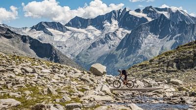
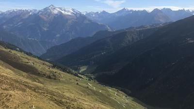
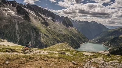
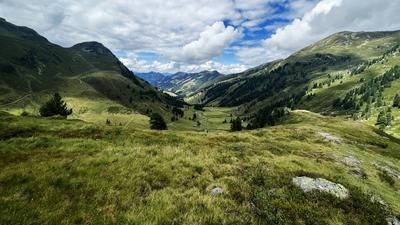
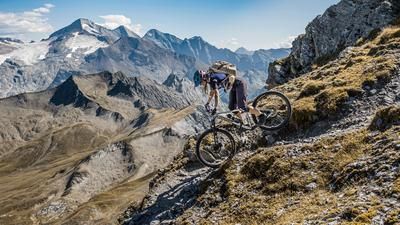
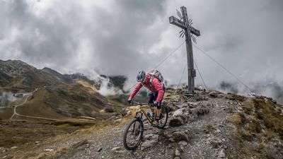
The starting point is the small village of Juns in the rear Zillertal valley near the Hintertux Glacier. From here, the route initially follows asphalt, later gravel, a forest road to Stoankasern to the alpine cheese dairy and snack station and on to the end of the valley. At the end of the valley, you are greeted by a bike box with a no cycling sign. Good for us, because from here onwards the bike is carried or pushed anyway. This continues to the Gschützspitz saddle, the transition point of today's tour. It is absolutely epic and panoramic at the top.
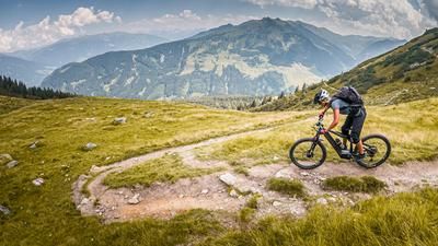
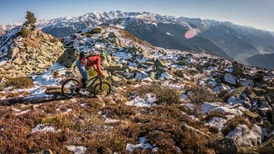
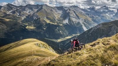
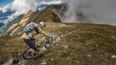
The descent also begins from this point. In complete Western Alps flair and as if on a military road, the route descends steadily below the Wandspitze on a few serpentines. The level of difficulty here is S1 to S2. After briefly reaching the valley floor, the trail runs parallel to the Weitentalbach stream and is rated between S1 and S3. Past the waterfall, the trail is very exposed in places and the bike has to be pushed for a short time, as the level of difficulty here is S4 to S5. The route then continues at a relatively high level of difficulty of S2 to S3. Always along the Weitentalbach stream, it doesn't get any easier to find the perfect line in the forest with some root passages, especially in wet conditions. Once you arrive in Hintertux, you briefly take the main road before returning to the starting point on small trail sections along the Tuxerbach stream.
Note: The route is located on Austrian territory and leads over routes that are not approved for mountain bikers. Riding this route on a mountain bike is the responsibility of each individual, in full awareness of the legal situation.
Map & GPX-Track
The map is only available to Ride subscribers.
The Ride-Subscription is available at ride-mtb.com/abo
.
Details of the tour
23 km
1275 m
1275 m
1351 above sea level
2626 above sea level
1 day
Tux
Tux
2772
not suitable
More information
More tours nearby







User comments (0)

About the author: Martin Depauli
Note: This content has been automatically translated from German. Please report any incorrect translations.