

Hamberg Diretissima

Description
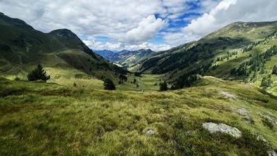
The tour starts in the village of Hart im Zillertal. First you follow the official cycle route, which steadily gains altitude on asphalt before the surface changes to a well-maintained gravel road. The uphill section is typical of the Zillertal and winds its way upwards in long hairpin bends - challenging in terms of fitness, but with a steady gain in altitude.
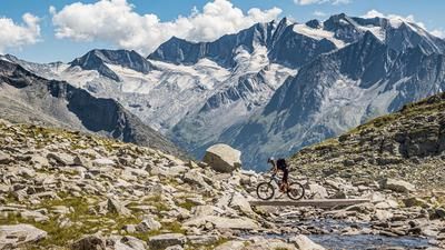
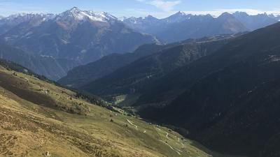
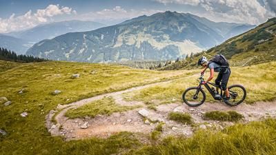
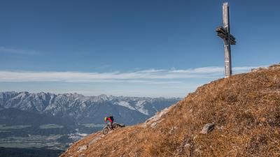
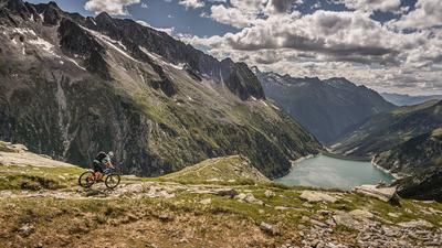
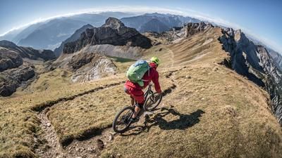
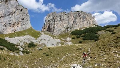
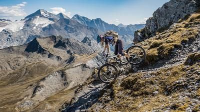
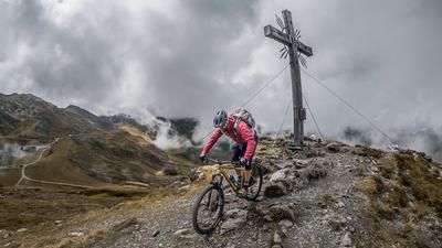
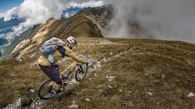
Past the Bachler Alm, the path becomes increasingly rough. The rideable section ends and the bike is pushed. Soon after, it lands on the ridge: an alpine path leads along a wide basin up to the summit of the Hamberg. At 2100 meters above sea level, there is an outstanding panoramic view - from Lake Achensee to the glaciated three-thousand-metre peaks of the Zillertal Alps.
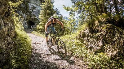
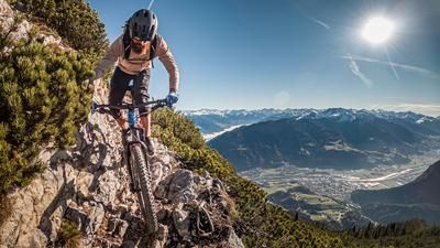
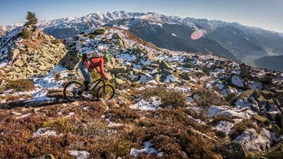
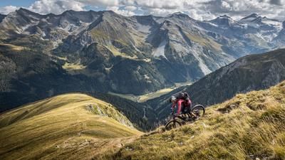
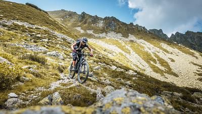
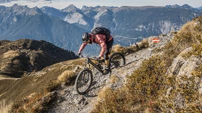
The descent begins alpine and technical. Overall, the trail settles at difficulty level S3 - with more flowing passages in between. Offset rear wheels, controlled descents over steep steps and a clean line choice are prerequisites for mastering the trail safely and with flow. In the upper section, there is also a short carrying passage over a scree field.
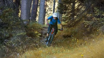
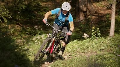
At around 1950 meters above sea level, the effective descent begins - technically demanding, but with a constant character. It initially rides through sparse pine and larch forest, later through spruce forests, always on a grippy surface. The trail runs downhill at a steady gradient, is long, homogeneous and intense - a real classic for technically experienced bikers. The descent ends in Haselbach and involves around 1500 Elevation loss in one stretch - challenging for riders and equipment alike.
From Haselbach, you roll comfortably along the Ziller back to the starting point in Hart im Zillertal.
Note: The route is located on Austrian territory and leads over routes that are not approved for mountain bikers. Riding this route on a mountain bike is the responsibility of each individual, in full awareness of the legal situation.
Map & GPX-Track
The map is only available to Ride subscribers.
The Ride-Subscription is available at ride-mtb.com/abo
.
Details of the tour
22 km
1485 m
1485 m
533 above sea level
2041 above sea level
Hart im Zillertal
Hart im Zillertal
3530
not suitable
More information
More tours nearby












User comments (0)

About the author: Martin Depauli
Note: This content has been automatically translated from German. Please report any incorrect translations.