

Bärenkopf

Description
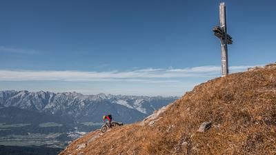
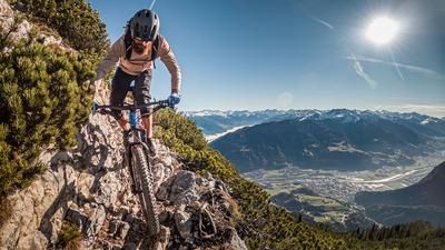
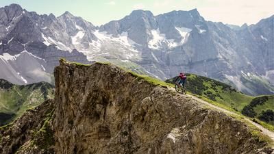
The route begins in Wiesing. From there, the trail leads steadily uphill along the toboggan run toward Maurach, first on asphalt and later on gravel. From Maurach, follow the ascent on the gravel road along the Weissenbach stream to the Weissenbachsattel. You’ll reach the saddle before continuing on foot, pushing and carrying your mountain bike over the ridge and along the crest to the summit of the Bärenkopf. Near the top, a short, narrow climbing section of about three meters awaits you, but it’s quickly overcome.
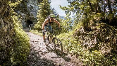
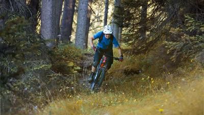
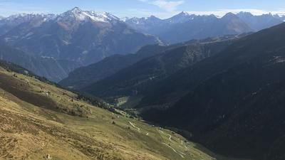
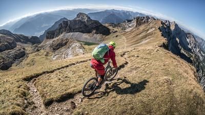
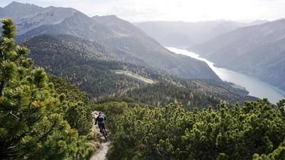
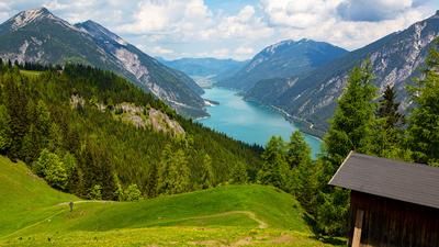
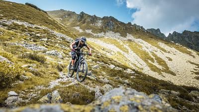
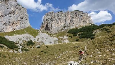
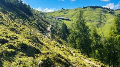
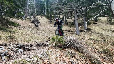
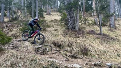
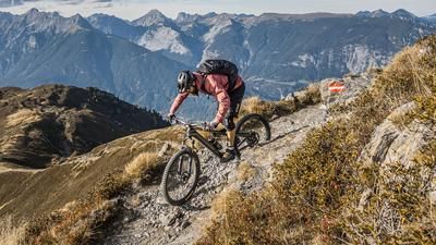
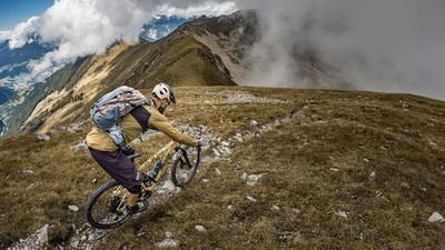
Once at the top, the panorama is simply legendary. Lake Achensee resembles a Norwegian fjord and lies nestled between the striking peaks of the Rofan and the Karwendel. Then the descent begins. The route heads down the ridge at S2 difficulty, ideal for bringing the brakes up to operating temperature, until you reach the aforementioned climbing section. Here, you’ll need to push your mountain bike for a short stretch before the trail continues at S2 to S3 difficulty level toward the Bärenbadalm. Ideally, conditions here should be dry, as the rocks and roots are otherwise barely rideable. The trail runs mostly on gravel and, with its abundance of roots and rocks, offers a true alpine atmosphere.
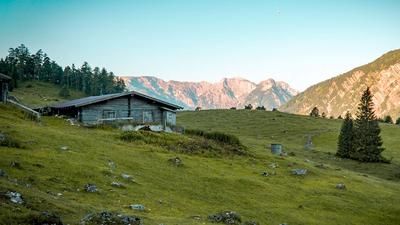
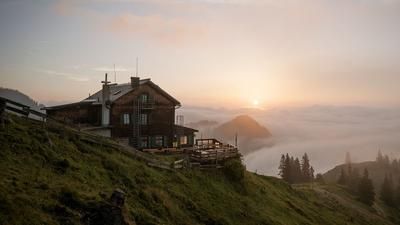
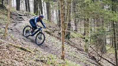
The Bärenbadalm is a great spot for a leisurely break before the next trail section, rated S2, leads steadily downhill to Lake Achensee. In summer, Pertisau invites you to take a refreshing dip before riding back to Maurach. Take the old Kreuzweg trail—rated S1, with some sections S2—back into the Inn Valley and finally pedal along the Inn River to the starting point in Wiesing. Overall, this is a long and challenging all-mountain and enduro tour that can be shortened starting from Maurach, but the final descent into the Inn Valley is a real highlight.
Note: The route is located on Austrian territory and includes sections that are not officially open to mountain bikers. Riding this route is done with full awareness of the legal situation and at each individual’s own risk.
Note: The route is located on Austrian territory and leads over routes that are not approved for mountain bikers. Riding this route on a mountain bike is the responsibility of each individual, in full awareness of the legal situation.
Map & GPX-Track
The map is only available to Ride subscribers.
The Ride-Subscription is available at ride-mtb.com/abo
.
Details of the tour
31 km
1450 m
1450 m
524 above sea level
1938 above sea level
1 day
Wiesing
Wiesing
3620
not suitable
More information
More tours nearby













User comments (0)

About the author: Martin Depauli
Note: This content has been automatically translated from German. Please report any incorrect translations.