

Kellerjoch-Hütte - Naunzalm

Description
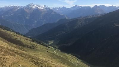
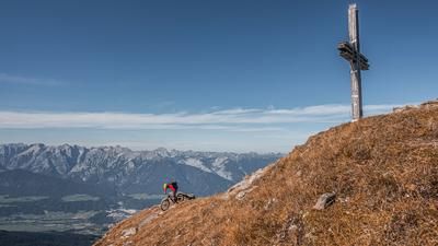
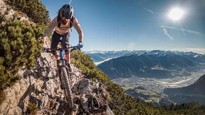
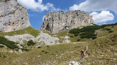
The route starts in the Inn Valley in the small town of Strass in the Zillertal. From here, you meander along the cycle path towards Innsbruck as far as Schwaz. From Schwaz, the route then climbs up the cycle route 416 on asphalt and later on gravel with fantastic panoramic views. In the upper section, turn off towards Proxenalm. The gravel path ends at the Proxenalm. The last few meters at the material cable car are extremely steep. From here, the pushing section begins on the 311 and later on the 312 (Kellerjochweg) trail. At the Kellerjochhütte, there are views of the depths that are probably some of the best in the Inntal valley.
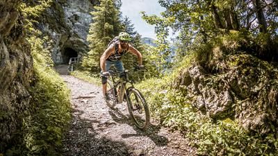
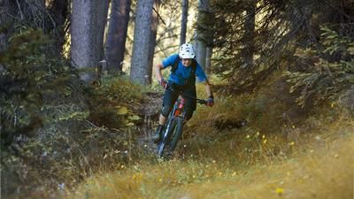
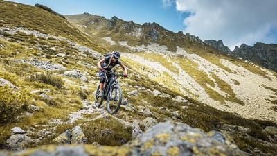
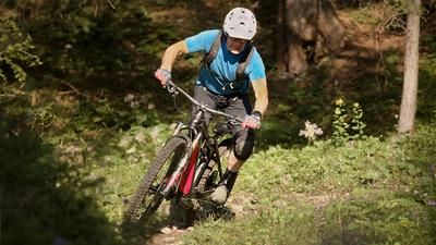
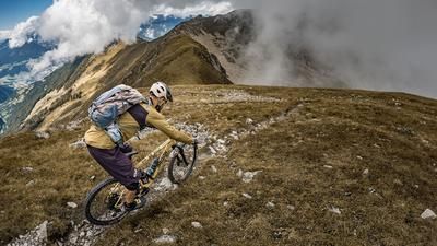
The trail descent is also top. It starts directly from the Kellerjochhütte without any real warm-up phase. On difficulty level S2 with S3 sections, the route leads via the Naunzalm/ Hochleger to the Loassattel. A real pleasure in dry weather, but tricky in wet conditions. From the Loassattel, the route is a little more relaxed. The 313 hiking trail towards Schellenberg is used in the meantime to loosen up a little. A little above the Hochfügenerstrasse, an intermediate uphill section begins via the Gartalm to the Geolsalm before rejoining a trail with superflow. This crosses the entire eastern mountain ridge to the Spieljochbahn middle station. On difficulty levels S1 to S2, the trail continues unabated through the forest. From the Spieljochbahn, the asphalt road rides to the next trail entrance. From here, the route is almost continuously S2 all the way down into the valley to Fügen. In Fügen, you pedal comfortably along the transfer route back to the starting point. All in all, a challenging, long and alpine enduro tour, which can be shortened by taking a shuttle to Gasthof Pirchnerast on the uphill section.
Note: The route is located on Austrian territory and leads over routes that are not approved for mountain bikers. Riding this route on a mountain bike is the responsibility of each individual, in full awareness of the legal situation.
Map & GPX-Track
The map is only available to Ride subscribers.
The Ride-Subscription is available at ride-mtb.com/abo
.
Details of the tour
52 km
2150 m
2150 m
522 above sea level
2170 above sea level
1 day
Strass im Zillertal
Strass im Zillertal
2510
limited
More information
More tours nearby






User comments (0)

About the author: Martin Depauli
Note: This content has been automatically translated from German. Please report any incorrect translations.