

Ebner Joch

Description
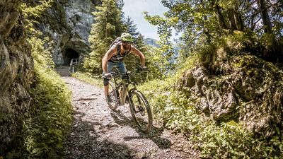
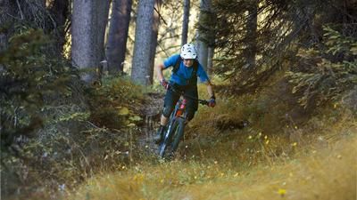
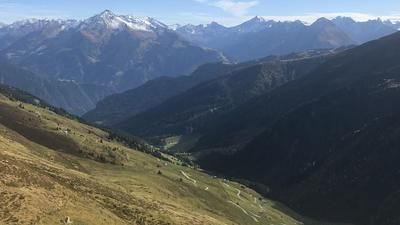
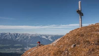
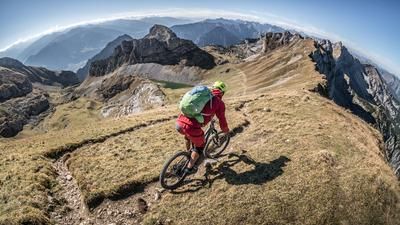
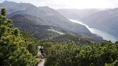
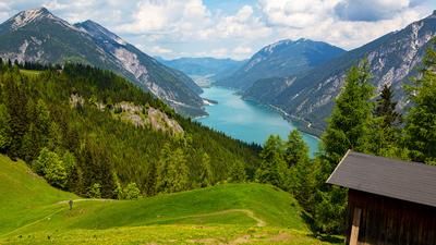
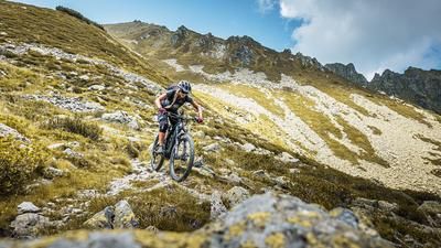
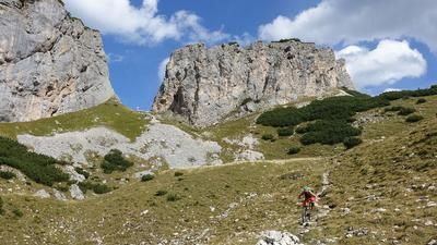
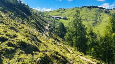
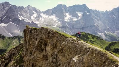
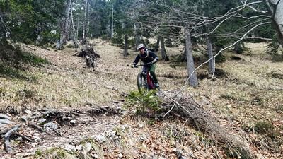
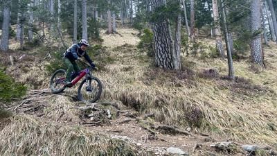
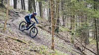
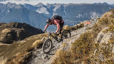
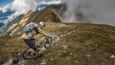
You start in Wiesing at the freeway exit, where you can also park your car in the parking lot if you are arriving by car. The cycle route takes a relaxed route towards Eben am Achensee and then back towards Maurach. From Maurach, you then wind your way steadily uphill along a classic fortress highway below the Rofan cable car and turn off below the Buchauer Alm at the crossing towards Alpengasthof Astenau. Half of the route is easy to pedal on gravel, while the other half is mostly covered by pushing. After the crossing and arrival at the Alpengasthof Astenau, it is now possible to end the tour here and ride down the trail, or to carry the bike up to the Ebner Joch at almost 2000 m above sea level. You can already see the massive, significant key sections that need to be mastered on the descent. At the highest point of the tour on the Ebner Joch, you are perfectly rewarded for your exertions. The panorama is second to none. There are also plenty of mountain choughs and countless hikers if you choose the tour at the wrong time. Ideally, the perfect time is during the off-season and during the week, as the mountain is known as the "Instagram mountain" for good reason. The uphill starts mercilessly. There is no real leeway between difficulty S3 and S5; only absolute bike pros will be able to ride the entire route. The trail does not really relax. Up to the Alpengasthof Astenau you will encounter this massive difficulty. From the inn onwards, it becomes easier and settles somewhere between S2 and S3. This then rides towards Eben am Achensee. At Eben am Achensee, the difficulty is reduced again. The old crossroads trail on difficulty S1, S2 leads directly back into the Inntal valley and offers the perfect finish for this tour. At HTL Jenbach, you reach the main road again and pedal back to the starting point in Wiesing.
Note: The route is located on Austrian territory and leads over routes that are not approved for mountain bikers. Riding this route on a mountain bike is the responsibility of each individual, in full awareness of the legal situation.
Map & GPX-Track
The map is only available to Ride subscribers.
The Ride-Subscription is available at ride-mtb.com/abo
.
Details of the tour
21 km
1320 m
1320 m
552 above sea level
1874 above sea level
1 day
Wiesing
Wiesing
2771
not suitable
More information
More tours nearby













User comments (1)

About the author: Martin Depauli
Note: This content has been automatically translated from German. Please report any incorrect translations.
Unfortunately, I couldn't make it all the way to the summit due to time constraints. But I can highly recommend the part I did do! It's definitely very technical up to Gasthof Astenau. At the bottom it's a nice trail with lots of flowy passages.