

Rappenspitze

Description
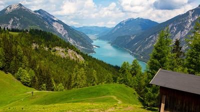
The tour starts in Pertisau directly at the toll station. From here, the cycle path initially leads moderately uphill towards Gramai to the Sennhütte Jausenstation Falzturn. This section is relaxed on asphalt in a westerly direction. The route then continues on gravel before turning right onto a forest road that climbs up to around 1250 m above sea level.
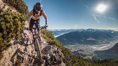
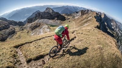
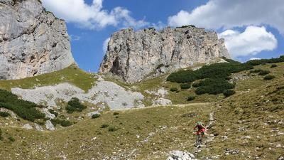
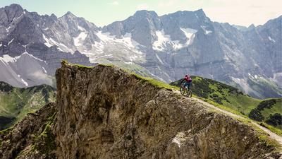
The uphill section ends at the saddle and a challenging carrying section begins: the bike is shouldered for a good 1000 meters in altitude. Similar to the Sonnjoch, there is no other sensible way to tackle the climb here, but it does offer the opportunity to inspect the key sections of the descent during the ascent. After this long carrying section, you reach the Rappenspitze at 2223 meters above sea level. A spectacular panorama awaits you at the summit, impressively showcasing the quieter side of the Gramai.
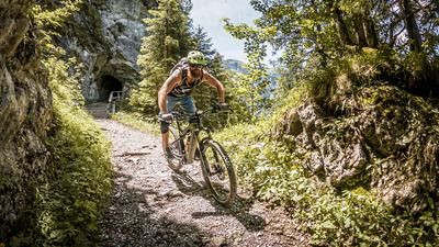
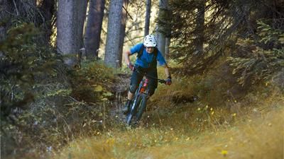
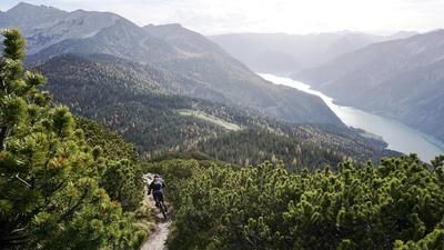
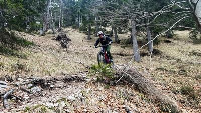
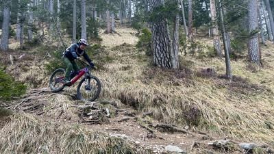
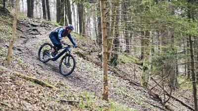
The descent is technically extremely demanding, with difficulties ranging from S3 to S4. The technique of hairpin bends is essential and the trail must be dry in order to be ridden safely. Typical "stumbling biking" in the Karwendel characterizes this section: those who love technical trails will get their money's worth here. However, this route is not suitable for less experienced bikers.
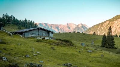
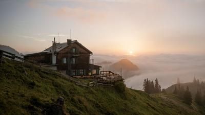
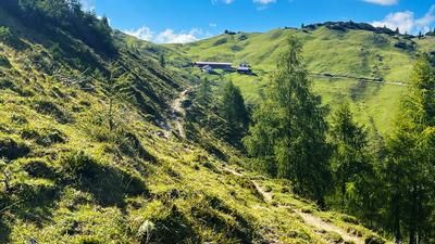
Elevation loss after elevation loss, the trail becomes somewhat easier in the lower section after a short intermediate ascent (where the bike has to be carried again). Finally, you return to the Sennhütte Jausenstation Falzturn. Here, you can stop for a bite to eat before you return to the starting point on a relaxed roll.
Note: The route is located on Austrian territory and leads over routes that are not approved for mountain bikers. Riding this route on a mountain bike is the responsibility of each individual, in full awareness of the legal situation.
Map & GPX-Track
The map is only available to Ride subscribers.
The Ride-Subscription is available at ride-mtb.com/abo
.
Details of the tour
16 km
1160 m
1160 m
973 above sea level
2138 above sea level
Pertisau
Pertisau
3368
not suitable
More information
More tours nearby









User comments (0)

About the author: Martin Depauli
Note: This content has been automatically translated from German. Please report any incorrect translations.