

Vorderer Unnütz

Description
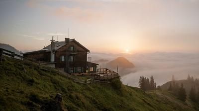
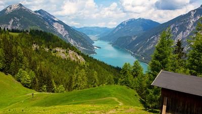
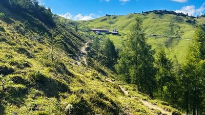
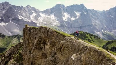
From the parking lot in Achenkirch parallel to the main road to the Kögelweg junction and then right onto the forest road towards Köglalm. This is a leisurely 500-metre climb through dense forest to the open terrain of the Köglalm. The path to Vorderer Unnütz branches off at a bend just before the alpine pastures. From here, you have to push and carry. Initially through sparse forest and later through a belt of mountain pines, we work our way up, with views of the sparkling Lake Achensee below us again and again. At an altitude of around 1900 meters, the mountain pines come to an end and an open meadow opens up the view of the last 200 meters to the summit. Once at the top, a fantastic panorama of the Karwendel, Rofan mountains and the Zillertal Alps awaits.
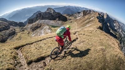
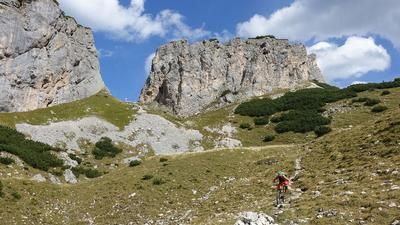
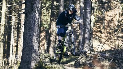
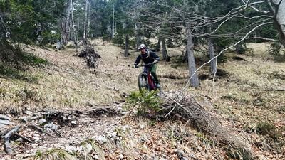
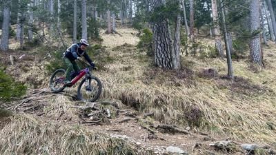
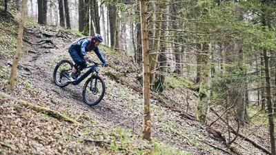
The descent follows the ascent route. Initially flowy and easy over the grassy ridges, it then gets down to business in the mountain pine belt. A constant S2 level with individual S3 and S4 passages on gravelly terrain will challenge those with good riding technique. Be sure to stop in between and enjoy the view of the lake! Back on the forest path, you ride past the Köglalm. Here, the second trail begins on a grassy slope until it dives into the forest with hairpin bends and descents. In addition to a few S3 sections, the trail flows quite narrowly but constantly at a fun S2 level along the slope until you come out at the bottom near the Fischerwirt inn by the lake. From there, it's only a few meters to the parking lot.
Note: The route is located on Austrian territory and leads over routes that are not approved for mountain bikers. Riding this route on a mountain bike is the responsibility of each individual, in full awareness of the legal situation.
Map & GPX-Track
The map is only available to Ride subscribers.
The Ride-Subscription is available at ride-mtb.com/abo
.
Details of the tour
15 km
1110 m
1110 m
928 above sea level
2075 above sea level
1 day
Achenkirch
Achenkirch
2421
not suitable
More tours nearby









User comments (1)
Note: This content has been automatically translated from German. Please report any incorrect translations.
Top 3 of my after-work trails. A trail that has it all.
Beware of the tenants/owners of the Köglalm. I have already been verbally abused twice and threatened with beatings. They have also put up a prohibition sign at the entrance.
Leave the alp to the right and simply continue along the forest road a few meters further south.
An ingenious trail also begins here. Either take the trail to the Seehof or take the forest road at approx. 1270m and cross over to get back on the track