

Pasillsattel

Description
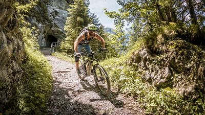
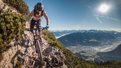
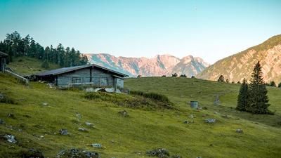
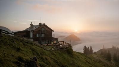
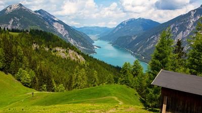
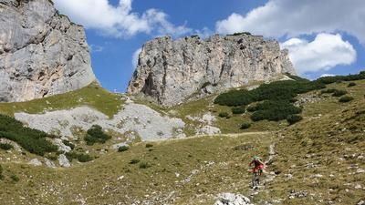
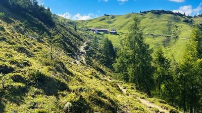
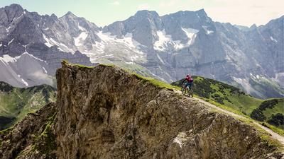
From Maurach you start a magnificent tour. You ride along the Achensee cycle path from Maurach to Achenkirch along the shores of Lake Achensee. The first 12 kilometers are on tar until Achenkirch. Then pass the campsite and head towards Seekarspitze. Here you take the forest road towards Seekaralm. The first part of this road is quite steep. In the upper section, you can see the imposing north face of the Seekarspitze until you ride further to the right in the Seekaralm alpine pasture area towards the Pasillalm and Pasillsattel. Now no longer quite so steep, the route leads into the beautiful, secluded valley to the Talschlss with the Pasillalm. From now on you have to push or carry your bike. It's about 150 meters up to the Pasill saddle. The ascent is via a rocky hiking trail, which cannot even be ridden on an e-bike. But the bike is easy to push here. At the top of the Pasillsattel (1680 meters above sea level), you have a wonderful view of the back of the Seekarspitze and to the left you can see the Seebergspitze, which could be reached with a 45-minute hike. Opposite you can see the Stanser Joch.
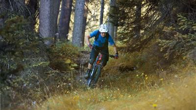
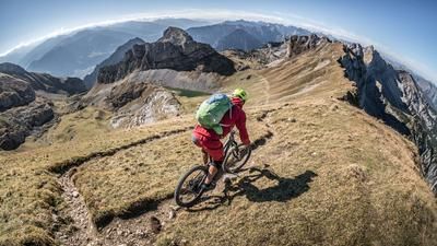
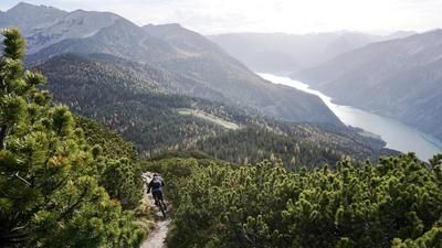
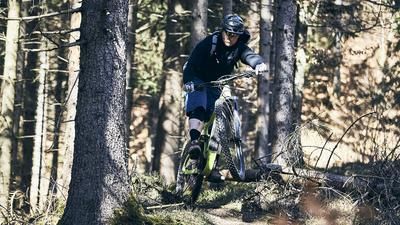
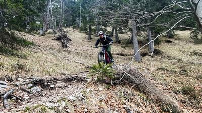
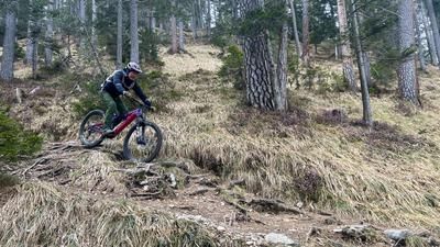
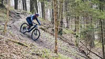
This is also where the trail starts. It is around 3.5 kilometers long and in the S2 to S3 range in terms of difficulty. Heading south, the first section is steep and rocky down towards the Pletzachalm into the Gerntal valley. This is followed by some gravelly hairpin bends. A dream for all hairpin bend artists! However, as most of the bends are not so tight, they can be negotiated easily with the appropriate riding skills. It gets a little steeper in the lower section. The trail has a special surface texture: it is very fine gravel and the steepness means you really surf through the bends. You don't often have a riding experience like this. At the bottom, you come to a forest road and turn off onto the trail again. In the sparse forest, the surface changes from forest floor to fine gravel. You cross the forest road from time to time until you come to a gate and reach the alpine pasture area of the Pletzachalm. Here it depends on the time of year. In late fall, when there is nothing going on and all the alpine pastures are closed, you can ride past the alpine pastures on the left and take a flowing high trail to Lake Achensee. Alternatively, you can ride past the Pletzachalm on the tarred road to Pertisau. Here you arrive in Pertisau at the Achensee boatyard and ride the lakeside cycle path back to Maurach.
Note: The route is located on Austrian territory and leads over routes that are not approved for mountain bikers. Riding this route on a mountain bike is the responsibility of each individual, in full awareness of the legal situation.
Map & GPX-Track
The map is only available to Ride subscribers.
The Ride-Subscription is available at ride-mtb.com/abo
.
Details of the tour
34 km
1035 m
1035 m
923 above sea level
1673 above sea level
1 day
Maurach
Maurach
2157
limited
More information
More tours nearby








User comments (0)
Background to Ride MTB
Ride MTB is dedicated to mountain biking. With the maps Ride Trail Maps and Trail Books and the print magazine Ride, it has played a formative role in alpine mountain biking for many years and has shaped it like few other organizations.
In addition to the publishing business, the company is now also active in product management and operating entire mountain bike projects. These include the tourism project Ride Travel and the development of modern and authentic mountain bike offers such as the Bahnentour in Davos Klosters, Engadin St. Moritz, Lenzerheide or Aletsch, as well as the creation of multi-day tours such as the Postauto-Tour or the Hüttentour.
Ride MTB GmbH was founded in 2001 (formerly Swiss Sports Publishing GmbH) and has been owned and managed by Thomas Giger since then.
Publishing and editorial address
Ride MTB GmbH
Falladagasse 11
CH-7212 Seewis
+41 81 413 43 43
info@ride-mtb.com
Subscription management
Advertisements
Administration
Bank details: Graubündner Kantonalbank.
CHF account. IBAN: CH86 0077 4010 2958 8310 1, BIC: GRKBCH2270A
EUR account. IBAN: CH32 0077 4010 2958 8310 3, BIC: GRKBCH2270A
Company identification number (UID): CHE-102.170.292
The brains behind Ride MTB









Note: This content has been automatically translated from German. Please report any incorrect translations.