

Reither Kogel

Description
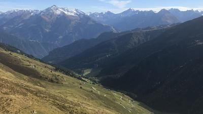
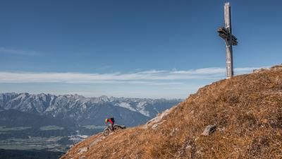
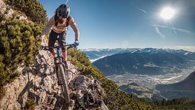
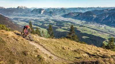
The tour starts in Bruck am Ziller, from where it rides entirely on asphalt along the official Bike Trail Tirol route to the Kerschbaumer Sattel. Here you can already enjoy impressive views of the Zillertal valley and the glaciated areas on the Austrian-Italian border. The route continues in the direction of Hinterkogel and Schwabl Kapelle, with the last few meters being covered on gravel before the bike is carried up to Reither Kogel for around 200 metres in altitude. Once at the top, a magnificent panorama opens up to the south.
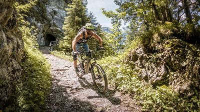
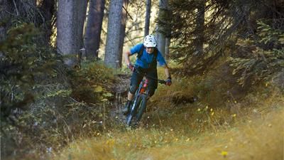
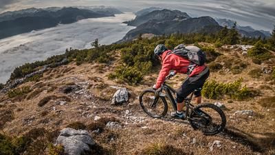
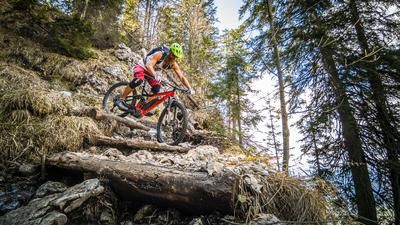
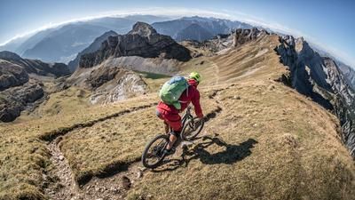
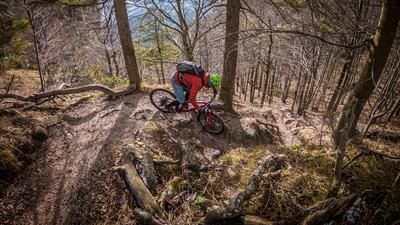
The trail descent from Reither Kogel to Schwabl Kapelle can be very challenging in places, with sections between S3 and S4 at its most difficult. Hairpin bends and very steep steps are not uncommon here. The remaining section is at an S2 level. You then follow the R17 hiking trail, also known as Kreuzweg Kogel, towards Reith im Alpbachtal, where the difficulty is between S1 and S2. At Geyerbach, the trail rides over gravel and briefly on asphalt before reaching the last trail section after a panoramic view of the Inntal valley - with a good view of Matzen Castle. This is classified as S1 and leads directly down to the Matzenpark pond. The route then continues along the Tiroler Landesstraße past Lichtwerth Castle and finally along the Inn Cycle Path back to the starting point at the Ziller.
For e-bike riders, the route is easy to ride as far as Schwabl Chapel. From the Schwabl Chapel to the summit, a light e-MTB is no problem, whereas a regular e-bike is less suitable due to the pushing and carrying sections. Shortening the tour at Schwabl Chapel is an option to complete the route exclusively on an e-bike.
Note: The route is located on Austrian territory and leads over routes that are not approved for mountain bikers. Riding this route on a mountain bike is the responsibility of each individual, in full awareness of the legal situation.
Map & GPX-Track
The map is only available to Ride subscribers.
The Ride-Subscription is available at ride-mtb.com/abo
.
Details of the tour
19 km
760 m
760 m
518 above sea level
1260 above sea level
1 day
Bruck am Ziller
Bruck am Ziller
3212
limited
More information
More tours nearby












User comments (0)

About the author: Martin Depauli
Note: This content has been automatically translated from German. Please report any incorrect translations.