

Köglhörndl

Description
The tour begins in the tranquil village of Niederbreitenbach. From there, the route takes a relaxed ride on side roads through Unterlangkampfen, briefly touches the Kufsteiner Straße, passes Langkampfen airfield and the Pulverturm, and then climbs up to the Dreibrunnenjoch in the direction of Pendling/Kala Alm. Right from the start, the ascent is very steep and challenging in places, allowing you to gain a lot of altitude. You then cross the forest road below the Kala Alm to the Köglalm. The Köglalm, gently nestled below the highest point of the tour, the Köglhörndl, marks the point from which the bike is carried or pushed on the back, from around 1400 to 1644 meters above sea level.
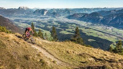
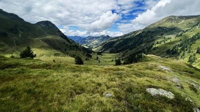
During the ascent, it is advisable to memorize the key points of the route, as these are also used on the descent. Once you reach the Köglhörndl, you can enjoy a breathtaking view over the Tyrolean lowlands, the Kitzbüheler Horn, the Großglockner, Großvenediger, all the way to the Karwendel and the main Alpine ridge.
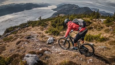
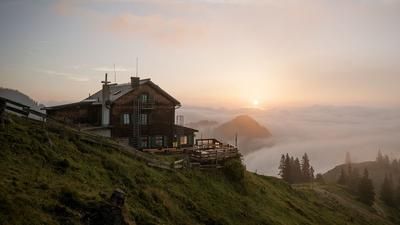
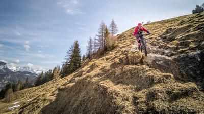
The trail descent then begins with technical difficulties between S1 and S3. In the upper section, you wind your way down to the Köglalm, with some hairpin bends being a little exposed in places. After the Köglalm, there is a traverse with a counter-climb of similar difficulty, where the path is broken off in two places and the bike has to be pushed. Finally, you reach the Höhlensteinhaus, where you can stop for refreshments.
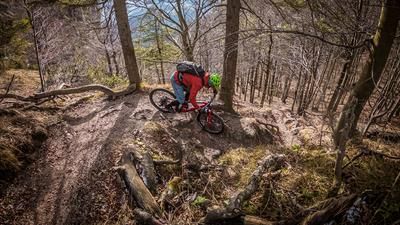
The descent then continues west of the Feuerkopf, also on difficulty S2 and S3, and offers a spectacular trail that becomes easier in the middle section and finally rides to the Bärenbadhaus. From the Bärenbadhaus, the trail becomes even more flowy and leads directly back to the starting point of the tour in Niederbreitenbach.
Note: The route is located on Austrian territory and leads over routes that are not approved for mountain bikers. Riding this route on a mountain bike is the responsibility of each individual, in full awareness of the legal situation.
Map & GPX-Track
The map is only available to Ride subscribers.
The Ride-Subscription is available at ride-mtb.com/abo
.
Details of the tour
25 km
1150 m
1150 m
485 above sea level
1562 above sea level
1 day
Niederbreitenbach
Niederbreitenbach
3242
not suitable
More information
More tours nearby











User comments (0)

About the author: Martin Depauli
Note: This content has been automatically translated from German. Please report any incorrect translations.