

Möslalmkreuz

Description
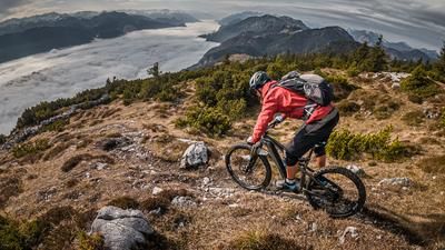
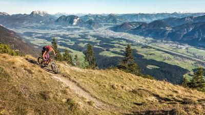
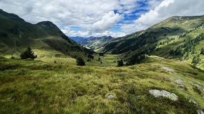
Start at the forest cemetery. From here, the route first rides uphill on the Wildschönau road on asphalt towards the bus turning point and then on the official cycle route on gravel up to the Möslalm. You emerge from the forest before you reach the alpine inn and enjoy a wonderful view over the lower Inntal valley, the striking Inn loop and as far as the German border.
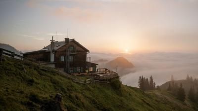
At the Möslalm itself, it's worth stopping for a bite to eat - the culinary specialties are highly recommended. The route then continues on a moderate incline along the forest road before turning right onto a cart path. This is easy to ride until just below the summit, the last few meters to the Möslalmkreuz (1105 meters above sea level) are tackled on a narrow trail. The summit is marked with a cross and offers an impressive view to the north despite the low altitude.
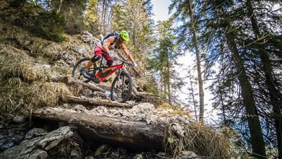
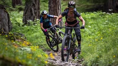
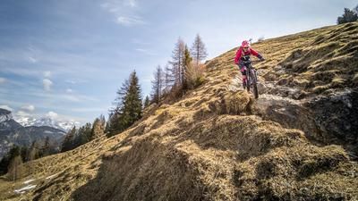
The descent follows: an old alpine trail leads downhill in a north-westerly direction, the difficulty lies between S1 and S2. Those who have mastered hairpin bends have an advantage here, but less experienced riders will also find easy bends.
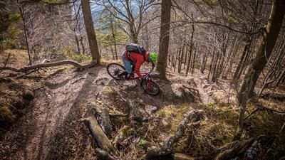
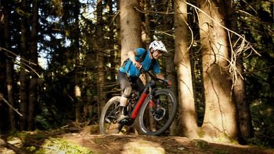
After a short transfer section on a gravel road, you reach a man-made hiking trail, which you follow to the summit of the Möslalmkogel. The trail then descends relatively steeply through the forest - a trail with difficulty level S2, occasionally S3, which becomes increasingly easier towards the bottom. The character is reminiscent of a classic mule track in Italy. Above the Wörgl stream, the trail leads to a crossroads.
Note: The route is located on Austrian territory and leads over routes that are not approved for mountain bikers. Riding this route on a mountain bike is the responsibility of each individual, in full awareness of the legal situation.
Map & GPX-Track
The map is only available to Ride subscribers.
The Ride-Subscription is available at ride-mtb.com/abo
.
Details of the tour
12 km
700 m
700 m
515 above sea level
1060 above sea level
Wörgl
Wörgl
3421
well suited
More information
More tours nearby








User comments (0)

About the author: Martin Depauli
Note: This content has been automatically translated from German. Please report any incorrect translations.