

Feuerköpfl

Description
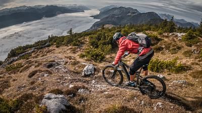
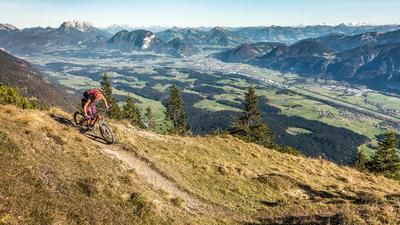
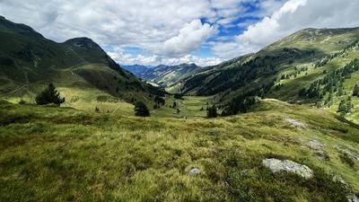
The tour starts in Niederbreitenbach. From here, the route begins on asphalt through the residential area and continues steadily uphill on gravel along the Bärnbadweg. The forest road can be pedaled up to an altitude of around 1050 metres above sea level. After that, the bike is carried on the back or pushed/carried uphill. Once you reach the high plateau, you are treated to a magnificent panorama that is only topped by the summit itself. On a clear day, the Großglockner, Großvenediger, Hohe Tauern, Inntal and Kitzbühel Alps are clearly visible.
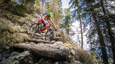
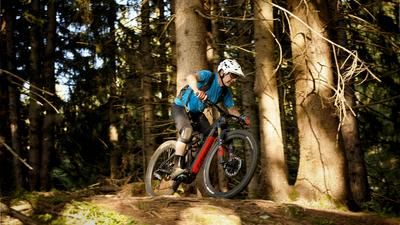
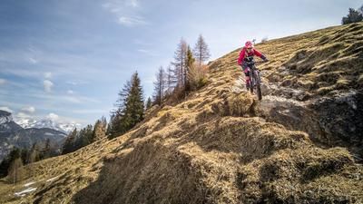
On difficulty level S3, in sections S2, the route then descends the mountain in the Direttissima variant. On countless hairpin bends, peppered with some key sections, you can put your riding skills to the test. In between, the trail is a little easier, but does not really become a flow due to a rockfall that made the descent more difficult a few years ago. Only in the lower section does the difficulty vary between S1 and S2 and then leads to Niederbreitenbach. From Niederbreitenbach, you pedal parallel to the A12 highway along a cart path and take a short trail cutter to get back to the starting point. The loop is perfect in spring and fall, as the snow melts early due to the southern exposure and the trail is only covered with snow late in the day.
Note: The route is located on Austrian territory and leads over routes that are not approved for mountain bikers. Riding this route on a mountain bike is the responsibility of each individual, in full awareness of the legal situation.
Map & GPX-Track
The map is only available to Ride subscribers.
The Ride-Subscription is available at ride-mtb.com/abo
.
Details of the tour
13 km
740 m
740 m
491 above sea level
1240 above sea level
1 day
Oberlangkampfen
Oberlangkampfen
3110
limited
More information
More tours nearby








User comments (0)

About the author: Martin Depauli
Note: This content has been automatically translated from German. Please report any incorrect translations.