

Grosser Galtenberg

Description
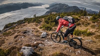
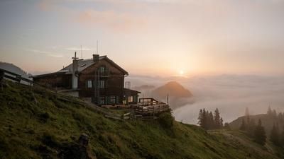
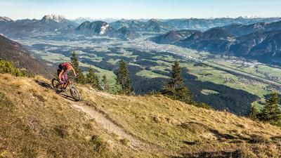
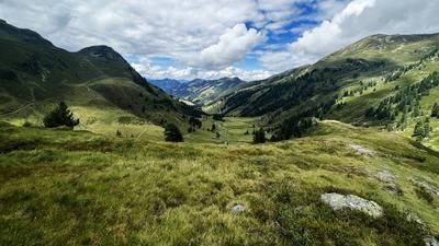
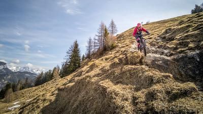
The tour starts in Inneralpbach. From here, a forest road leads up to the Greitalm in the side valley. You make relatively good progress on a varying incline and cover the meters in altitude in a good time. The route then continues past the Farmkehr Alm to the Farmkehr Hochleger. From here, the bike is placed in your hands or on your back and then taken along the path from the south to the Großer Galtenberg. Around 500 meters in altitude are classified here as a carrying and pushing section. Once you reach the summit at almost 2450 meters above sea level, you have a magnificent panorama of the foothills of the Alps, the main Alpine ridge / Hohe Tauern, as well as the Kitzbühel Alps and the Zillertal Alps.
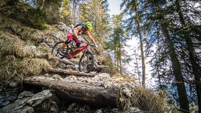
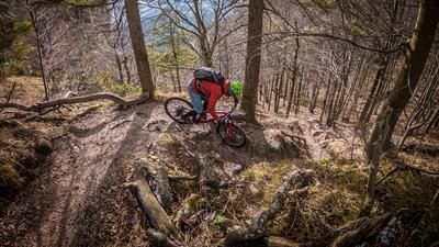
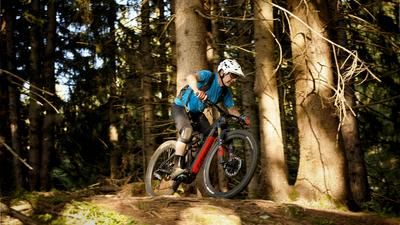
The descent heads north on a very well-maintained hiking trail, which has a slight multi-terrain trail character. With a difficulty of between S2 and occasionally S4, the route descends to the ridge on a few hairpin bends. The trail then becomes easier and easier, leveling off at difficulty S2 before becoming extremely flowy at the end, reminiscent of an Italian multi-terrain trail and finally riding back onto asphalt in Inneralpbach at difficulty S1.
Note: The route is located on Austrian territory and leads over routes that are not approved for mountain bikers. Riding this route on a mountain bike is the responsibility of each individual, in full awareness of the legal situation.
Map & GPX-Track
The map is only available to Ride subscribers.
The Ride-Subscription is available at ride-mtb.com/abo
.
Details of the tour
19 km
1340 m
1340 m
1023 above sea level
2377 above sea level
1 day
Inneralpbach
Inneralpbach
2996
not suitable
More information
More tours nearby








User comments (0)

About the author: Martin Depauli
Note: This content has been automatically translated from German. Please report any incorrect translations.