

Zunterköpfl

Description
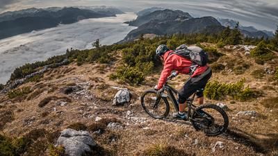
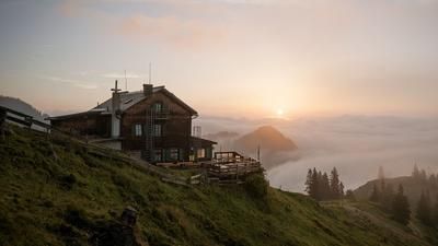
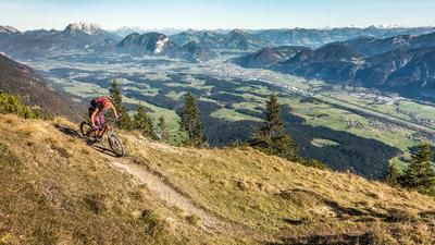
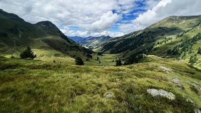
The start is in Embach/Angerberg. From here, the route climbs steadily up Buchacker Strasse with a southern flair. The route winds steeply through the rock faces on gravel further and further up into the southern Inn mountains. Shortly below the Almgasthof Buchacker, the route then descends a few meters on gravel towards the Hasatal. A short counter-climb and a short section of pushing and you end up on the Nachberg-Niederleger at around 1300 meters above sea level. From here, you pedal steadily uphill on a gravel road to the Nachberg-Hochleger and then almost to the summit of the Zunterköpfl. The last 100 meters have to be pushed in order to enjoy the panoramic view. With good visibility and clear air, you can easily see as far as the Hohe Tauern, Großvenediger and Großglockner.
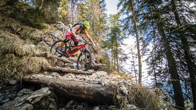
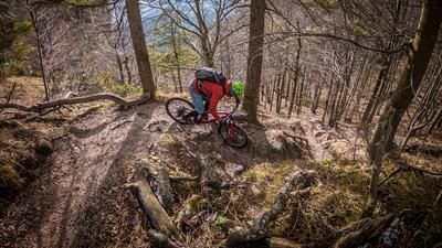
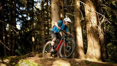
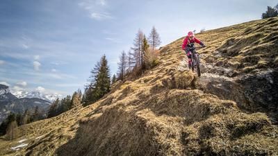
In the upper section of the descent, there are some key sections that only absolute pros can master. The rest is between S2 and S3. The route continues relaxed on meadows past the Nachberg-Hochleger and in the same manner to the Nachberg-Niederleger. From the Nachberg-Niederleger, a trail begins that could be on Lake Garda. Serpentines carved into the rock, some of which are somewhat secured and exposed, take you down to Schönau at a constant difficulty level of S2 to S3. From Schönau, you then take the side road back to the starting point in a relaxed manner. The tour can also be reduced to just the Nachberg-Niederleger if you want to skip the summit.
Note: The route is located on Austrian territory and leads over routes that are not approved for mountain bikers. Riding this route on a mountain bike is the responsibility of each individual, in full awareness of the legal situation.
Map & GPX-Track
The map is only available to Ride subscribers.
The Ride-Subscription is available at ride-mtb.com/abo
.
Details of the tour
18 km
1050 m
150 m
587 above sea level
1574 above sea level
1 day
Embach
Embach
2780
limited
More information
More tours nearby








User comments (0)

About the author: Martin Depauli
Note: This content has been automatically translated from German. Please report any incorrect translations.